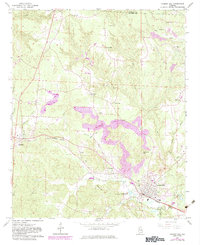
1967 Map of Carbon Hill
USGS Topo · Published 1983About this map
The Burlington Northern railroad corridor anchors the landscape of western Walker County, connecting the primary settlements of Carbon Hill and Kansas with Eldridge to the west. This 1967 survey, updated with 1980s data, reveals an area shaped by the coal industry, evidenced by multiple strip mines and the Coalbed Cem. The terrain is defined by its water system, where Lost Creek flows southward past Sleepy Mtn and the Carbon Hill National Fish Hatchery.
Find a feature on this map
39 named features on this map. Tap any name to fly to it.
Don’t see what you’re looking for? This feature index may not catch every label — zoom into the map to look around manually.
Map Details
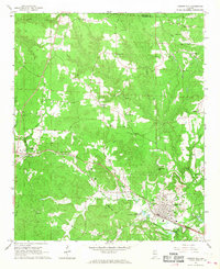
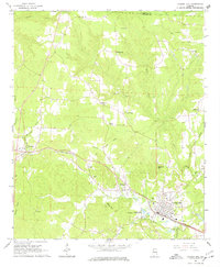
Editions of this 1967 Carbon Hill Map
3 editions found
Other maps of this area

1893 · Jasper
USGS Topo · 1:125,000

1949 · Townley
USGS Topo · 1:24,000

1949 · Nauvoo
USGS Topo · 1:24,000

1950 · Nauvoo
USGS Topo · 1:24,000

1951 · Townley
USGS Topo · 1:24,000

1953 · Birmingham
USGS Topo · 1:250,000

1956 · Birmingham
USGS Topo · 1:250,000

1956 · Gadsden
USGS Topo · 1:250,000

1957 · Birmingham
USGS Topo · 1:250,000

1958 · Gadsden
USGS Topo · 1:250,000