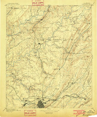
1953 Map of Birmingham
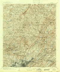
USGS Topo · Published 1964About this map
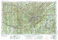
Industrial and mountain landscapes of Central Alabama are extensively documented in this mid-century survey, centered on the expansion of Birmingham and the satellite cities of Bessemer, Fairfield, and Tarrant City. The complex topography of Red Mountain, Shades Mountain, and Oak Mountain dictates the urban footprint, while the Warrior River and its major forks, the Mulberry Fork and Locust Fork, provide the hydrological backbone for the region's industry. Navigational infrastructure is clearly marked, including Lock No 17 on the Black Warrior, essential for coal and iron transport.
Find a feature on this map
101 named features on this map. Tap any name to fly to it.
Don’t see what you’re looking for? This feature index may not catch every label — zoom into the map to look around manually.
Map Details
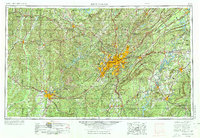
Editions of this 1953 Birmingham Map
4 editions found
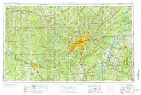
Historical Maps of Birmingham Through Time
7 maps found