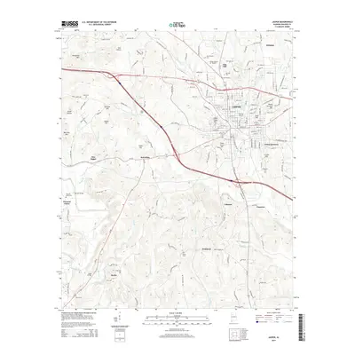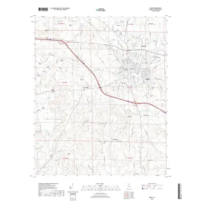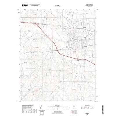
1893 Map of Jasper
USGS Topo · Published 1893About this map
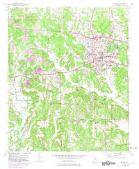
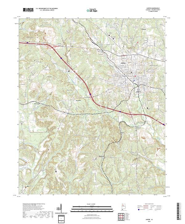
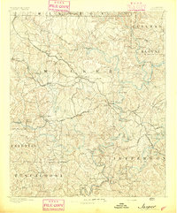
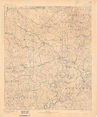
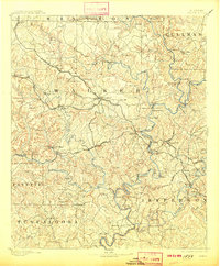
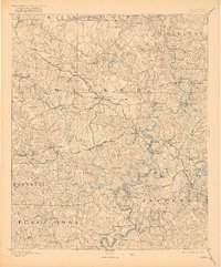
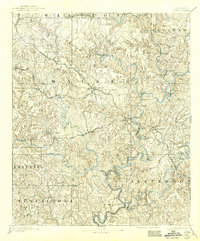
The confluence of rail and river industry defines Jasper and the surrounding Walker County landscape during the late nineteenth century. The map reveals a region transitioning from isolated agricultural settlements to an industrial hub, driven by the expansion of the Georgia Pacific Railroad and the Kansas City Memphis and Birmingham RR. This development is most evident at Gamble Mines and Coal Valley, where resource extraction began to reshape the rugged terrain. Along the Sipsey Fork and Mulberry Fork, a complex network of river crossings—such as Miller Ferry, Baltimore Ford, and Drummond Fy—illustrates how local commerce relied on these vital waterways before modern bridging. Small rural centers like Zion Church and the Sipsey Valley School anchor the social geography of the era, while the presence of Camak Mills and several sawmills highlights the early processing of local timber and grain.
Find a feature on this map
132 named features on this map. Tap any name to fly to it.
Don’t see what you’re looking for? This feature index may not catch every label — zoom into the map to look around manually.
Map Details
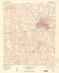
Editions of this 1893 Jasper Map
5 editions found
Historical Maps of Birmingham Through Time
9 maps found