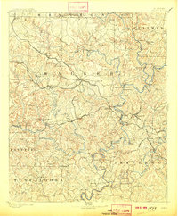
1893 Map of Jasper
USGS Topo · Published 1913About this map
Jasper serves as the central hub for a complex network of industrial and transport corridors across north-central Alabama. Surveyed in the late 19th century, the landscape is defined by the early extraction economy at Gamble Mines and Coal Valley, where the Tennessee River Ry and Kansas City Memphis and Birmingham RR provided critical access. Beyond the rail lines, the rugged interior is connected by established routes like the Birmingham and Sheffield Road and Double Spring Road.
Find a feature on this map
127 named features on this map. Tap any name to fly to it.
Don’t see what you’re looking for? This feature index may not catch every label — zoom into the map to look around manually.
Map Details
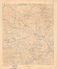
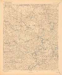
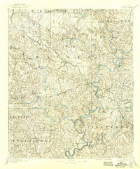
Editions of this 1893 Jasper Map
5 editions found
Other maps of this area

1888 · Cullman
USGS Topo · 1:125,000

1889 · Birmingham
USGS Topo · 1:125,000

1890 · Bessemer
USGS Topo · 1:125,000

1892 · Cullman
USGS Topo · 1:125,000

1892 · Birmingham
USGS Topo · 1:125,000

1892 · Bessemer
USGS Topo · 1:125,000

1893 · Jasper
USGS Topo · 1:125,000

1895 · Birmingham
USGS Topo · 1:125,000

1899 · Brookwood
USGS Topo · 1:125,000

1904 · Birmingham Coal District
USGS Topo · 1:62,500