Loading...
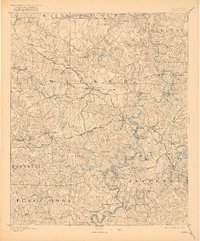
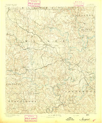
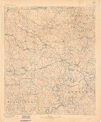
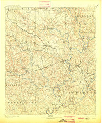
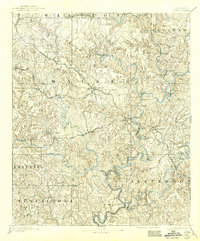
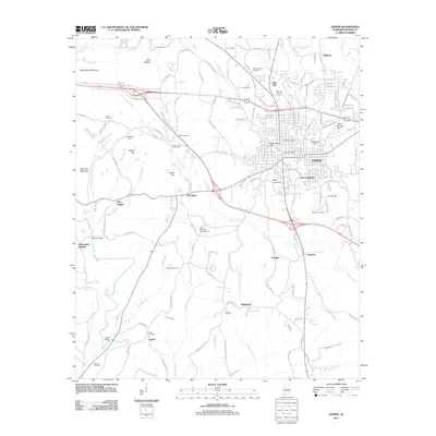
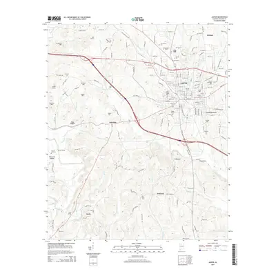
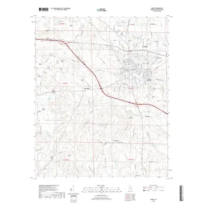
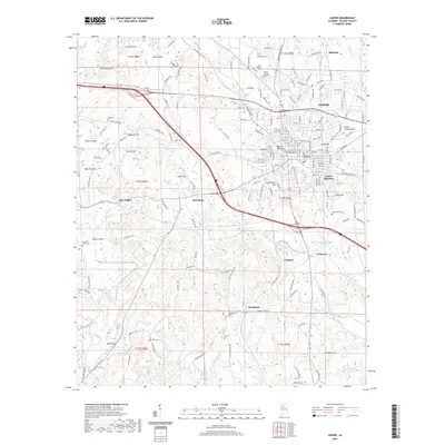
Loading map...1893 Map of Jasper
USGS Topo · Published 1921About this map
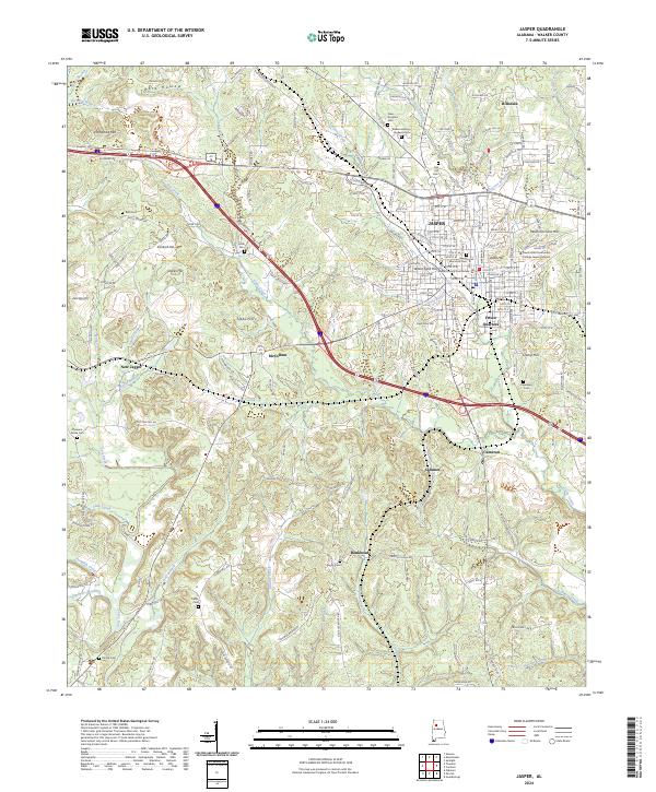
Jasper serves as the central hub of this 1891 survey, situated at the junction of the Kansas City Memphis and Birmingham Railroad and the Georgia Pacific Railroad. This network supported a developing industrial landscape, most notably the Gamble Mines and early timber operations at several unnamed saw mills. The terrain is deeply carved by the Sipsey Fork and Mulberry Fork, where numerous river crossings like Phillips Fy. and Baltimore Ford provided essential links before modern bridges.
Find a feature on this map
129 named features on this map. Tap any name to fly to it.
Don’t see what you’re looking for? This feature index may not catch every label — zoom into the map to look around manually.
Map Details
Date Portrayed1893
Date Published1921
PublisherU.S. Geological Survey
Map TypeTopographic
Scale1:125,000
Physical Dimensions16.48 x 19.85 inches
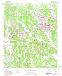
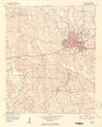
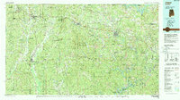
Editions of this 1893 Jasper Map
5 editions found
Historical Maps of Birmingham Through Time
9 maps found
Featured Locations
Source Details
SourceU.S. Geological Survey
CopyrightPublic Domain