
Loading...
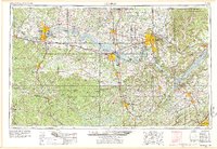
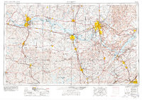
Loading map...1956 Map of Gadsden
USGS Topo · Published 1966About this map
Redstone Arsenal and the rapidly growing city of Huntsville anchor the Tennessee Valley in this mid-century portrait of North Alabama. The landscape is defined by the massive impoundments of the Tennessee River, including Wilson Lake, Wheeler Lake, and Guntersville Lake, which reshaped the region's economy and geography. To the south, the deep woodlands of the William B Bankhead National Forest contrast with the industrial and agricultural centers of Decatur, Cullman, and Gadsden.
Find a feature on this map
46 named features on this map. Tap any name to fly to it.
Don’t see what you’re looking for? This feature index may not catch every label — zoom into the map to look around manually.
Map Details
Date Portrayed1956
Date Published1966
PublisherU.S. Geological Survey
Map TypeTopographic
Scale1:250,000
Physical Dimensions31.6 x 21.9 inches
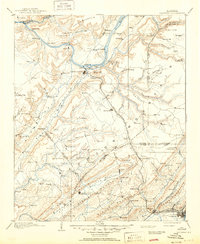
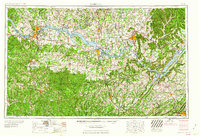
Editions of this 1956 Gadsden Map
3 editions found
Historical Maps of Huntsville Through Time
9 maps found


Featured Locations
Source Details
SourceU.S. Geological Survey
CopyrightPublic Domain