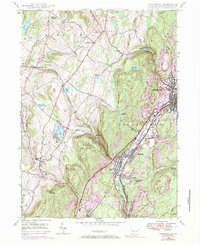
2023 Map of Carbondale
USGS Topo · Published 2023About this map
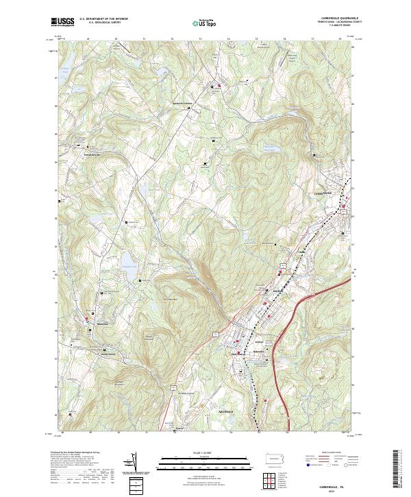
The Lackawanna River corridor serves as the industrial and social backbone for this region of Pennsylvania, where dense settlements like Carbondale, Mayfield, and Archbald follow the river's path. This map captures the valley's complex burial and religious history, shown through numerous family and denominational plots such as the Tomkins Family Cem, Childs Jewish Cem, and Saint Johns Russian Orthodox Cem. Beyond the urban centers, the landscape rises into the ridges of Cary Mountain and Hubbard Mountain, punctuated by upland water bodies like Heart Lake and Mountain Mud Pond. A singular geological curiosity, the Archbald Pothole, sits near the southern edge of the quadrangle, while small aviation fields like Ashlawn Airport dot the plateau, reflecting the modern utility of these high, flat spaces above the bustling river towns.
Find a feature on this map
173 named features on this map. Tap any name to fly to it.
Don’t see what you’re looking for? This feature index may not catch every label — zoom into the map to look around manually.
Map Details
Editions of this 2023 Carbondale Map
This is the sole edition of this map. No revisions or reprints were ever made.
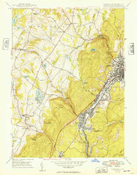
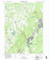
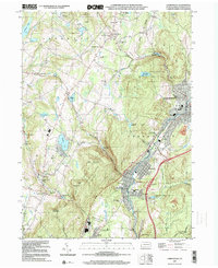
Historical Maps of Spencers Corners Through Time
5 maps found