Loading...
Loading map...2021 Map of Carl Junction
USGS Topo · Published 2021About this map
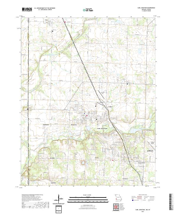
Carl Junction and its surrounding communities in Jasper County are mapped here along the state line between Missouri and Kansas. The landscape is defined by the winding courses of the Spring River and Center Creek, which flow through a region punctuated by numerous small settlements and family-named landmarks. Clusters of residency and commerce are visible at Waco, Gulfton, and Smithfield, while the southern edge of the map begins to transition into the northern outskirts of Joplin.
Find a feature on this map
81 named features on this map. Tap any name to fly to it.
Don’t see what you’re looking for? This feature index may not catch every label — zoom into the map to look around manually.
Map Details
Date Portrayed2021
Date Published2021
PublisherU.S. Geological Survey
Map TypeTopographic
Scale1:24000
Physical Dimensions24 x 29 inches
Editions of this 2021 Carl Junction Map
This is the sole edition of this map. No revisions or reprints were ever made.
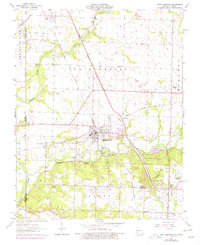
Historical Maps of Klondike Through Time
Featured Locations
Source Details
SourceU.S. Geological Survey
CopyrightPublic Domain