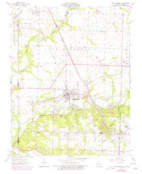
1963 Map of Carl Junction
USGS Topo · Published 1979About this map
Carl Junction serves as the focal point of this western Jasper County landscape, situated near the confluence of Spring River, Turkey Creek, and Center Creek. The map documents a transition in land use, where traditional agriculture meets the industrial footprint of the tri-state mining district, evidenced by numerous Tailings piles and an active Mine or Quarry dotting the township of Galena. The rail infrastructure is particularly dense, featuring the Kansas City Southern and St Louis San Francisco lines, alongside an Old Railroad Grade that speaks to the area's evolving transportation network.
Find a feature on this map
37 named features on this map. Tap any name to fly to it.
Don’t see what you’re looking for? This feature index may not catch every label — zoom into the map to look around manually.
Map Details
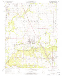
Editions of this 1963 Carl Junction Map
2 editions found
Other maps of this area

1886 · Joplin
USGS Topo · 1:125,000

1886 · Carthage
USGS Topo · 1:125,000

1894 · Joplin
USGS Topo · 1:125,000

1894 · Carthage
USGS Topo · 1:125,000

1945 · Pittsburg
USGS Topo · 1:62,500

1947 · Joplin
USGS Topo · 1:250,000

1947 · Pittsburg
USGS Topo · 1:62,500

1949 · Joplin
USGS Topo · 1:250,000

1950 · Pittsburg
USGS Topo · 1:62,500

1954 · Joplin
USGS Topo · 1:250,000