
Loading...
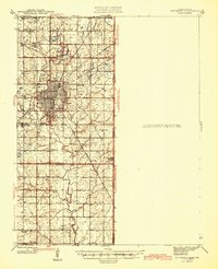
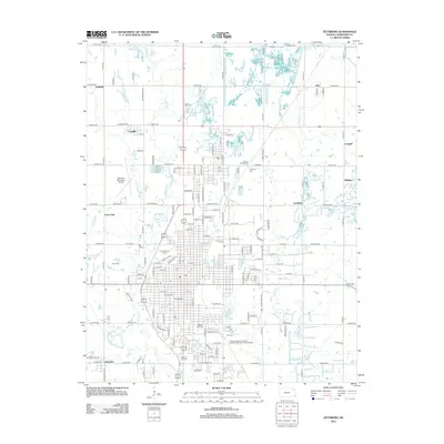
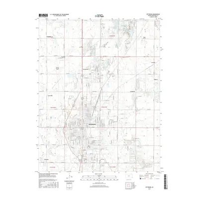
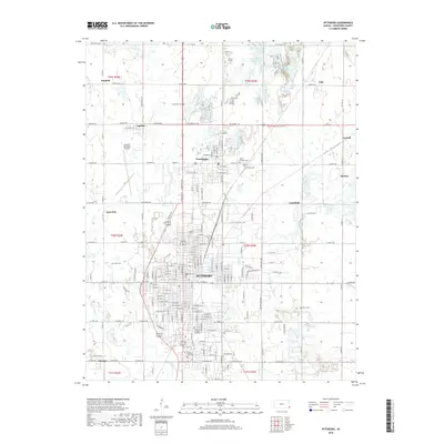
Loading map...1945 Map of Pittsburg
USGS Topo · Published 1945About this map
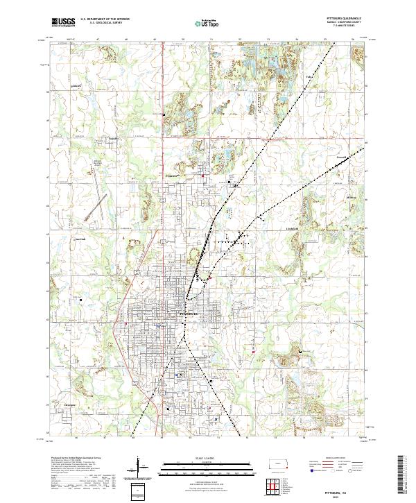
Industrial coal mining and a dense network of transit define the Crawford County landscape in the mid-1940s. The city of Pittsburg stands as a central hub, surrounded by dozens of strip mines that reveal the era’s intensive extraction activities. This resource-driven economy is supported by a heavy concentration of rail lines, including the Missouri Pacific, Kansas City Southern, and the Pittsburg and Midway.
Find a feature on this map
47 named features on this map. Tap any name to fly to it.
Don’t see what you’re looking for? This feature index may not catch every label — zoom into the map to look around manually.
Map Details
Date Portrayed1945
Date Published1945
PublisherU.S. Geological Survey
Map TypeTopographic
Scale1:62,500
Physical Dimensions16.97 x 20.96 inches
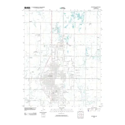
Editions of this 1945 Pittsburg Map
2 editions found
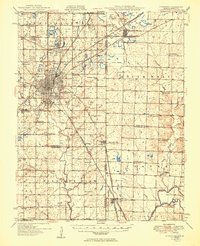
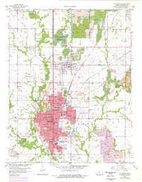
Historical Maps of Pittsburg Through Time
9 maps found

Featured Locations
Source Details
SourceU.S. Geological Survey
CopyrightPublic Domain