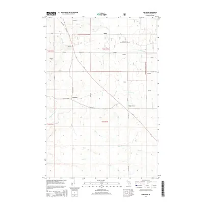
2014 Map of Carlshend
USGS Topo · Published 2014About this map
Carlshend and several small rural settlements anchor this portion of Marquette County, where the landscape transitions from managed timberlands to agricultural clearings. The township is characterized by a series of north-south running roads like N Carlshend Rd and Winberg Rd, which provide access to family farmsteads and forest plots. A prominent landmark for local history is the Emmanuel Lutheran Church Cem, situated near the junction of Co Road DCA and Us-41.
Find a feature on this map
43 named features on this map. Tap any name to fly to it.
Don’t see what you’re looking for? This feature index may not catch every label — zoom into the map to look around manually.
Map Details
Editions of this 2014 Carlshend Map
This is the sole edition of this map. No revisions or reprints were ever made.
Other maps of this area
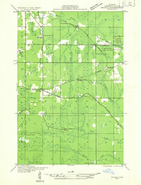
1932 · Skandia SW
USGS Topo · 1:31,680
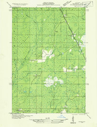
1932 · Helena NE
USGS Topo · 1:31,680
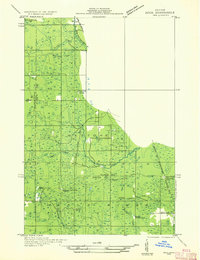
1932 · Rock NE
USGS Topo · 1:31,680
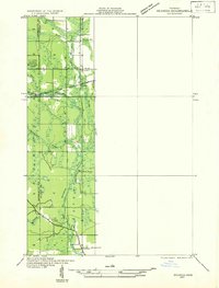
1932 · Skandia SE
USGS Topo · 1:31,680
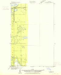
1932 · Skandia NE
USGS Topo · 1:31,680
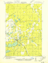
1932 · Harvey SE
USGS Topo · 1:31,680
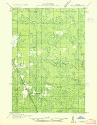
1932 · Rock NW
USGS Topo · 1:31,680
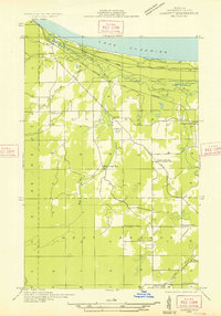
1932 · Harvey NE
USGS Topo · 1:31,680
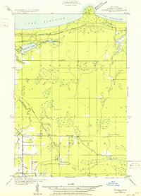
1950 · Skandia NW
USGS Topo · 1:31,680
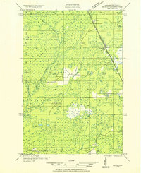
1951 · Helena NE
USGS Topo · 1:31,680