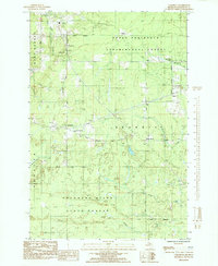
1985 Map of Carlshend
USGS Topo · Published 1985About this map
The Upper Peninsula Experimental Forest dominates the northern reaches of this Marquette County landscape, reflecting the region's managed woodlands and research history. This mid-1980s provisional study details a rural network of small settlements like Carlshend and Skandia, where community life centered around landmarks such as the Skandia Sch and several local congregations, including Emmanuel Ch and the Evangelical Covenant Ch.
Find a feature on this map
31 named features on this map. Tap any name to fly to it.
Don’t see what you’re looking for? This feature index may not catch every label — zoom into the map to look around manually.
Map Details
Editions of this 1985 Carlshend Map
This is the sole edition of this map. No revisions or reprints were ever made.
Other maps of this area
1932 · Skandia SW
USGS Topo · 1:31,680
1932 · Helena NE
USGS Topo · 1:31,680
1932 · Rock NE
USGS Topo · 1:31,680
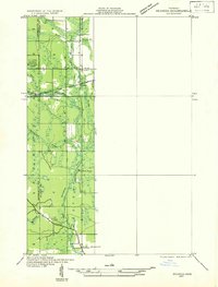
1932 · Skandia SE
USGS Topo · 1:31,680
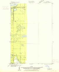
1932 · Skandia NE
USGS Topo · 1:31,680
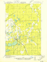
1932 · Harvey SE
USGS Topo · 1:31,680
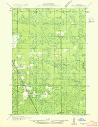
1932 · Rock NW
USGS Topo · 1:31,680
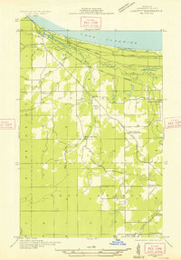
1932 · Harvey NE
USGS Topo · 1:31,680
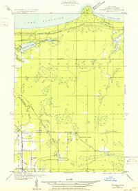
1950 · Skandia NW
USGS Topo · 1:31,680
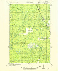
1951 · Helena NE
USGS Topo · 1:31,680