Loading...
Loading map...2024 Map of Carlton
USGS Topo · Published 2024About this map
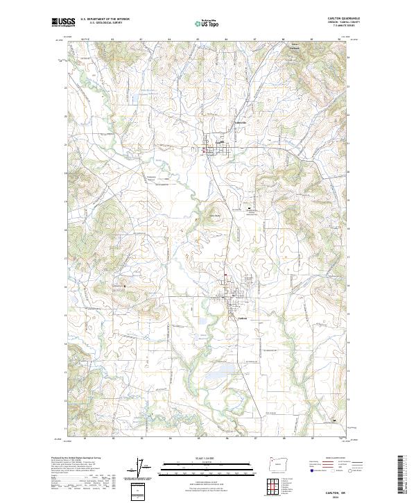
Carlton and Yamhill serve as the primary hubs in this agricultural landscape of the North Yamhill Valley. The North Yamhill River meanders through the center of the sheet, supported by a network of drainage and irrigation features including the Sitton Reservoir, Oberg Reservoir, and Fidel Brothers Irrigation Reservoir. The land is defined by its transition from the valley floor up toward the foothills, marked by distinctive rises like Alecs Butte.
Find a feature on this map
104 named features on this map. Tap any name to fly to it.
Don’t see what you’re looking for? This feature index may not catch every label — zoom into the map to look around manually.
Map Details
Date Portrayed2024
Date Published2024
PublisherU.S. Geological Survey
Map TypeTopographic
Scale1:24000
Physical Dimensions24 x 29 inches
Editions of this 2024 Carlton Map
This is the sole edition of this map. No revisions or reprints were ever made.
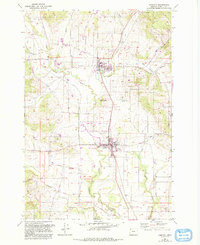
Historical Maps of Yamhill Through Time
Featured Locations
Source Details
SourceU.S. Geological Survey
CopyrightPublic Domain