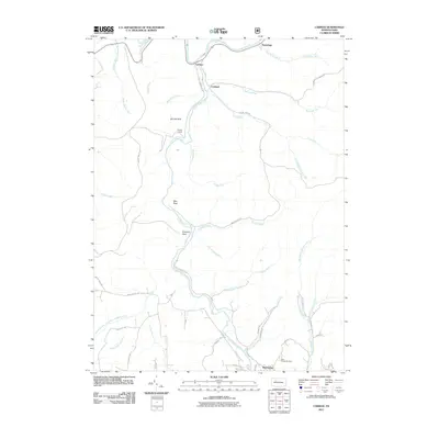
2011 Map of Carman
USGS Topo · Published 2011About this map
The Clarion River winds across the northern reaches of this Elk County landscape, where the small settlements of Carman and Croyland sit along the valley of Little Toby Creek. This terrain is defined by its deep drainages and named landmarks like Elk Lick Bluff and Blue Rock, reflecting a region shaped by both its natural hydrology and industrial history. Evidence of the area's resource extraction is found at the Empire Tunnel, located near the convergence of several runs.
Find a feature on this map
48 named features on this map. Tap any name to fly to it.
Don’t see what you’re looking for? This feature index may not catch every label — zoom into the map to look around manually.
Map Details
Editions of this 2011 Carman Map
This is the sole edition of this map. No revisions or reprints were ever made.
Other maps of this area

1922 · Du Bois
USGS Topo · 1:62,500

1924 · Du Bois
USGS Topo · 1:62,500

1929 · Penfield
USGS Topo · 1:62,500

1932 · Penfield
USGS Topo · 1:62,500

1940 · Hallton
USGS Topo · 1:48,000

1941 · Ridgway
USGS Topo · 1:62,500

1943 · Hallton
USGS Topo · 1:62,500

1944 · Du Bois
USGS Topo · 1:62,500

1944 · Ridgway
USGS Topo · 1:62,500

1957 · Warren
USGS Topo · 1:250,000
Featured Places
- Spring Creek Township, PA
- Croyland, Spring Creek Township
- Tapawingo, Ridgway Township
- Horton Township, PA
- Polk Township, PA