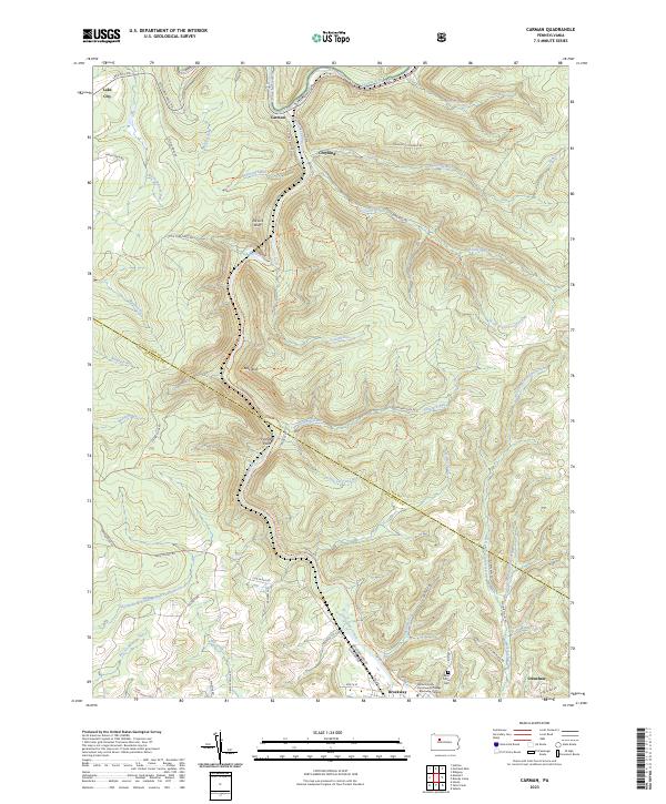
2023 Map of Carman
USGS Topo · Published 2023About this map
The Clarion River and its major tributary, Little Toby Creek, dictate the geography of this rugged borderland between Elk and Jefferson Counties. Historically defined by its river-and-rail industry, the landscape now features the Clarion-Little Toby Creek Trail, which follows the old rail corridor through deep valleys. Small settlements like Carman, Croyland, and Lake City appear along the northern waterways, while the southern portion of the map shows the more developed outskirts of Brockway. Higher elevations are marked by distinctive landmarks such as Elk Lick Bluff and Blue Rock. Local genealogy and community history are anchored by the Saint Tobias Cemetery and the Butler County Community College Brockway Campus near the southern edge. The map reveals how the modern road network, including German Settlement Road and Portland Mills Road, navigates the complex system of runs and hollows feeding into the river valley.
Find a feature on this map
60 named features on this map. Tap any name to fly to it.
Don’t see what you’re looking for? This feature index may not catch every label — zoom into the map to look around manually.
Map Details
Editions of this 2023 Carman Map
This is the sole edition of this map. No revisions or reprints were ever made.
Other maps of this area

1922 · Du Bois
USGS Topo · 1:62,500

1924 · Du Bois
USGS Topo · 1:62,500

1929 · Penfield
USGS Topo · 1:62,500

1932 · Penfield
USGS Topo · 1:62,500

1940 · Hallton
USGS Topo · 1:48,000

1941 · Ridgway
USGS Topo · 1:62,500

1943 · Hallton
USGS Topo · 1:62,500

1944 · Du Bois
USGS Topo · 1:62,500

1944 · Ridgway
USGS Topo · 1:62,500

1957 · Warren
USGS Topo · 1:250,000
Featured Places
- Spring Creek Township, PA
- Croyland, Spring Creek Township
- Carman, Spring Creek Township
- Tapawingo, Ridgway Township
- Snyder Township, PA