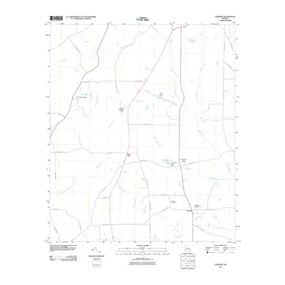
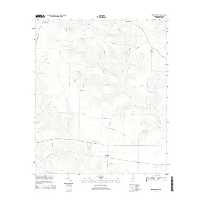
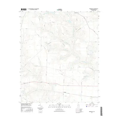
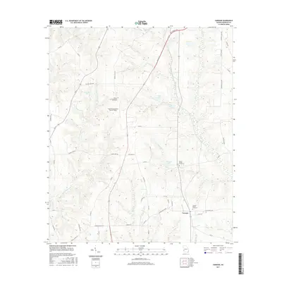
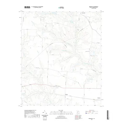
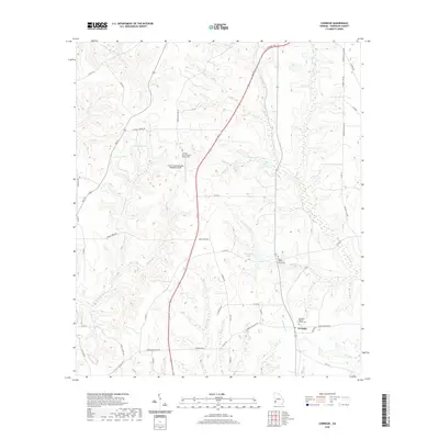
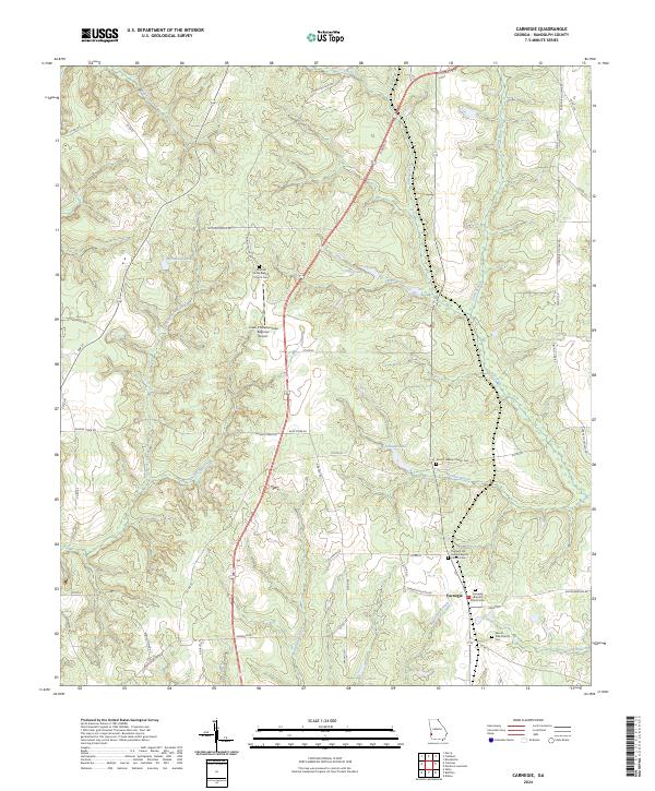
1973 Map of Carnegie
USGS Topo · Published 1975About this map
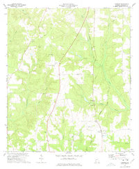
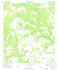
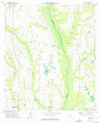
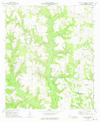
The settlement of Carnegie serves as a focal point for this rural pocket of Randolph County, defined by a landscape of small local airfields and a transition in transportation infrastructure. The Seaboard Coast Line railroad runs vertically through the eastern portion of the map, while an Old Railroad Grade to the west suggests an older corridor of movement. This rural community is anchored by local religious centers like Mitchell Grove Ch, Mt Hebron Ch, and St Lukes Ch, which are scattered among the drainages of Cemochechabee Creek and Carter Creek.
Find a feature on this map
22 named features on this map. Tap any name to fly to it.
Don’t see what you’re looking for? This feature index may not catch every label — zoom into the map to look around manually.
Map Details
Editions of this 1973 Carnegie Map
This is the sole edition of this map. No revisions or reprints were ever made.
Historical Maps of Carnegie Through Time
25 maps found
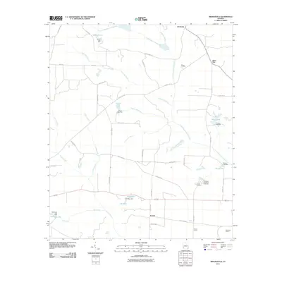
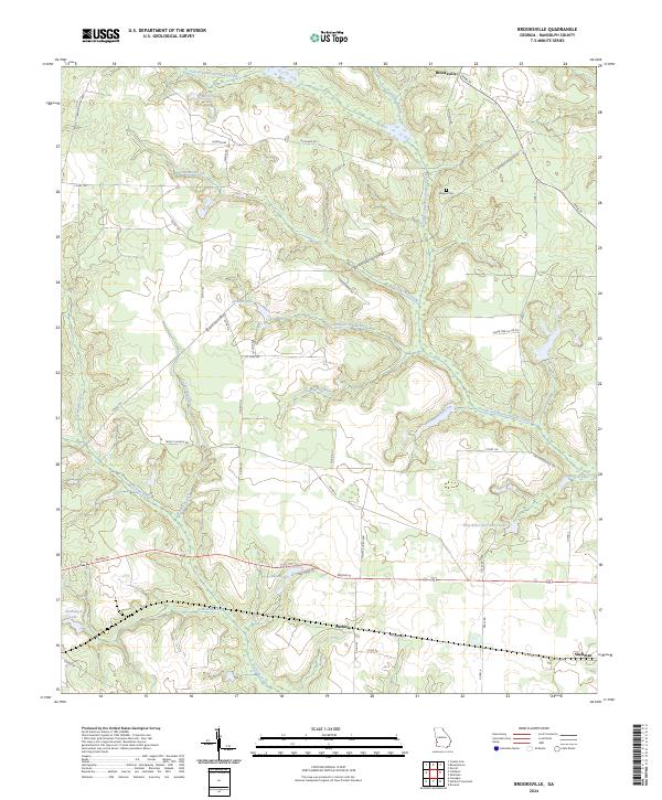
1972 Brooksville
Randolph County, GA
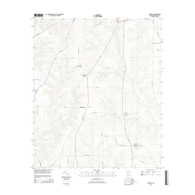
1973 Carnegie
Randolph County, GA
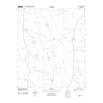
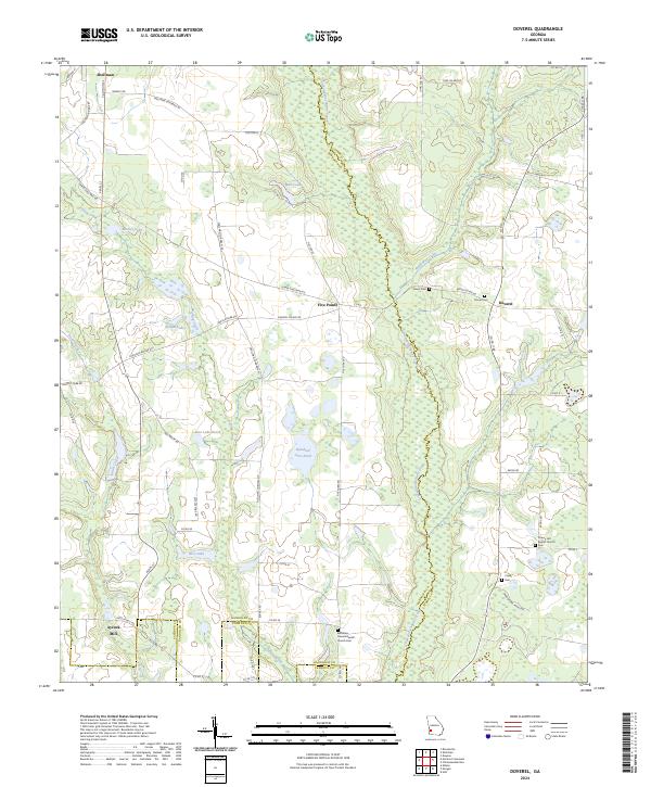
1973 Doverel
Randolph County, GA
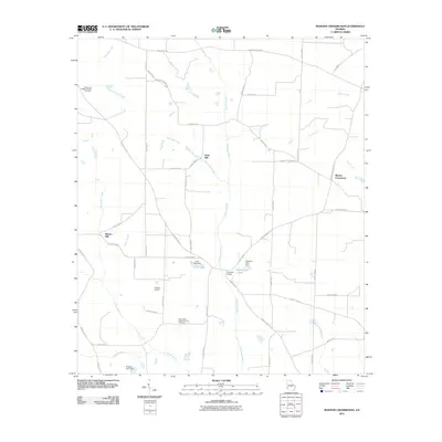
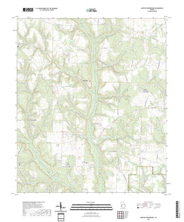
1973 Martins Crossroads
Randolph County, GA

1978 La Grange
Randolph County, GA
2011 Brooksville
Randolph County, GA
2011 Carnegie
Randolph County, GA
2011 Doverel
Randolph County, GA
2011 Martins Crossroads
Randolph County, GA
2014 Brooksville
Randolph County, GA
2014 Carnegie
Randolph County, GA
2014 Doverel
Randolph County, GA
2014 Martins Crossroads
Randolph County, GA
2017 Brooksville
Randolph County, GA
2017 Carnegie
Randolph County, GA
2017 Doverel
Randolph County, GA
2017 Martins Crossroads
Randolph County, GA
2020 Brooksville
Randolph County, GA
2020 Carnegie
Randolph County, GA
2020 Doverel
Randolph County, GA
2020 Martins Crossroads
Randolph County, GA
2024 Brooksville
Randolph County, GA
2024 Carnegie
Randolph County, GA
2024 Doverel
Randolph County, GA
2024 Martins Crossroads
Randolph County, GA