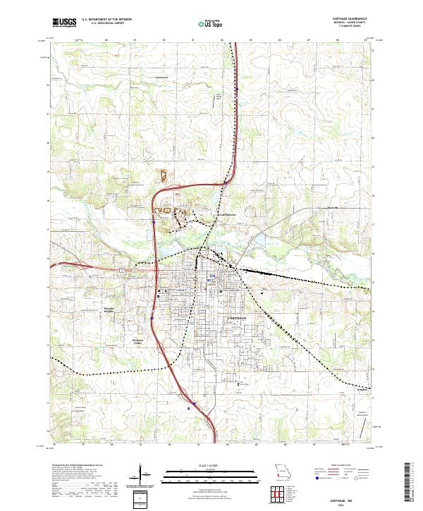
2021 Map of Carthage
USGS Topo · Published 2021About this map
Carthage serves as the regional anchor of this landscape, situated south of a prominent bend in the Spring River. The town's civic heart is defined by the Jasper County Courthouse, surrounded by a dense grid of streets that transition into outlying neighborhoods like Kendricktown and Morgan Heights. A string of cemeteries including Oak Hill Cem, Woodlawn Cem, and Park Cem marks the western edge of the city, providing a significant record for genealogical research in this part of Missouri.
Find a feature on this map
90 named features on this map. Tap any name to fly to it.
Don’t see what you’re looking for? This feature index may not catch every label — zoom into the map to look around manually.
Map Details
Editions of this 2021 Carthage Map
This is the sole edition of this map. No revisions or reprints were ever made.
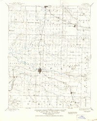
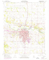
Historical Maps of Pleasant Valley Through Time
4 maps found