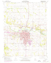
1963 Map of Carthage
USGS Topo · Published 1979About this map
Carthage serves as a dense municipal hub in the early 1960s, defined by its historic civic core around the Courthouse and a vast network of local institutions. The map reveals a high concentration of neighborhood schools, including Eugene Field Sch and Mark Twain Sch, alongside Our Lady of The Ozarks College. The industrial landscape is equally prominent, with numerous Quarries and Gravel Pit sites ringing the urban area, particularly near the Spring River.
Find a feature on this map
52 named features on this map. Tap any name to fly to it.
Don’t see what you’re looking for? This feature index may not catch every label — zoom into the map to look around manually.
Map Details
Editions of this 1963 Carthage Map
2 editions found
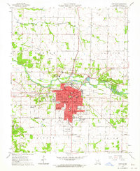
Other maps of this area

1886 · Carthage
USGS Topo · 1:125,000

1894 · Carthage
USGS Topo · 1:125,000

1921 · Sarcoxie
USGS Topo · 1:62,500

1947 · Joplin
USGS Topo · 1:250,000

1949 · Joplin
USGS Topo · 1:250,000

1954 · Joplin
USGS Topo · 1:250,000

1958 · Joplin
USGS Topo · 1:250,000

1959 · Joplin
USGS Topo · 1:250,000
1962 · Jasper
USGS Topo · 1:24,000
1962 · Neck City
USGS Topo · 1:24,000