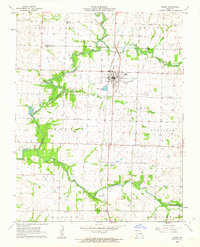
1962 Map of Jasper
USGS Topo · Published 1963About this map
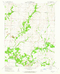
The North Fork Spring River and its numerous tributaries, including Coon Creek and Dry Fork, define the agrarian landscape of this region during the early 1960s. The town of Jasper serves as the primary hub, situated at the intersection of the Missouri Pacific railroad and Route 71. This area is particularly rich in family and community history, evidenced by a high density of rural burial grounds such as Stafford Cem, Ruddick Cem, and Paradise Cem.
Find a feature on this map
27 named features on this map. Tap any name to fly to it.
Don’t see what you’re looking for? This feature index may not catch every label — zoom into the map to look around manually.
Map Details
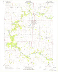
Editions of this 1962 Jasper Map
2 editions found
Other maps of this area

1886 · Carthage
USGS Topo · 1:125,000

1894 · Carthage
USGS Topo · 1:125,000
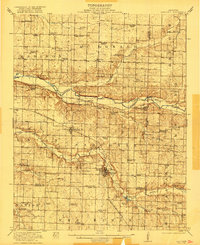
1921 · Sarcoxie
USGS Topo · 1:62,500

1947 · Joplin
USGS Topo · 1:250,000

1949 · Joplin
USGS Topo · 1:250,000

1954 · Joplin
USGS Topo · 1:250,000

1958 · Joplin
USGS Topo · 1:250,000

1959 · Joplin
USGS Topo · 1:250,000
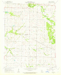
1962 · Kenoma
USGS Topo · 1:24,000
1962 · Neck City
USGS Topo · 1:24,000