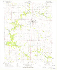
1962 Map of Jasper
USGS Topo · Published 1979About this map
The town of Jasper sits at the heart of this agricultural region, its grid iron-linked to the Missouri Pacific railroad. The landscape is defined by the winding course of the North Fork Spring River, which snakes through the western portion of the quadrangle, feeding into Webbs Lake. This area of Jasper County is divided into several civil townships, including Richland, Preston, and Sheridan, each marked by a network of rural roads that connect small communities like Carytown.
Find a feature on this map
26 named features on this map. Tap any name to fly to it.
Don’t see what you’re looking for? This feature index may not catch every label — zoom into the map to look around manually.
Map Details
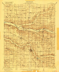
Editions of this 1962 Jasper Map
2 editions found
Other maps of this area

1886 · Carthage
USGS Topo · 1:125,000

1894 · Carthage
USGS Topo · 1:125,000
1921 · Sarcoxie
USGS Topo · 1:62,500

1947 · Joplin
USGS Topo · 1:250,000

1949 · Joplin
USGS Topo · 1:250,000

1954 · Joplin
USGS Topo · 1:250,000

1958 · Joplin
USGS Topo · 1:250,000

1959 · Joplin
USGS Topo · 1:250,000
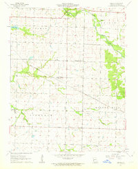
1962 · Kenoma
USGS Topo · 1:24,000
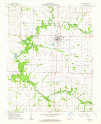
1962 · Jasper
USGS Topo · 1:24,000