Loading...
Loading map...2022 Map of Casar
USGS Topo · Published 2022About this map
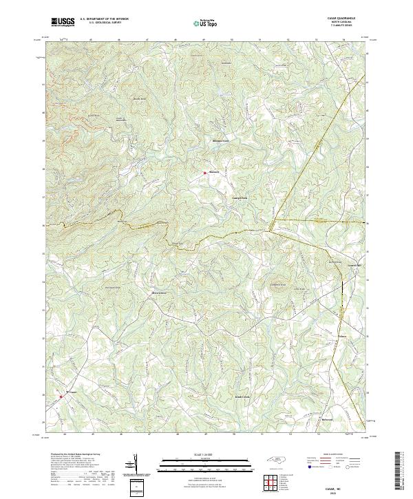
Gilead Ridge and the South Mountains dominate the northwestern landscape of this region where Cleveland, Burke, Lincoln, and Catawba counties converge. The rugged topography is defined by numerous peaks such as Doublehead Mtn and Swenk Knob, which give way to a network of winding roads and valley settlements. The community of Casar serves as a local hub in the southwest, while other small centers like Belwood and Toluca anchor the southeastern corner near the Lincoln County line.
Find a feature on this map
141 named features on this map. Tap any name to fly to it.
Don’t see what you’re looking for? This feature index may not catch every label — zoom into the map to look around manually.
Map Details
Date Portrayed2022
Date Published2022
PublisherU.S. Geological Survey
Map TypeTopographic
Scale1:24000
Physical Dimensions24 x 29 inches
Editions of this 2022 Casar Map
This is the sole edition of this map. No revisions or reprints were ever made.
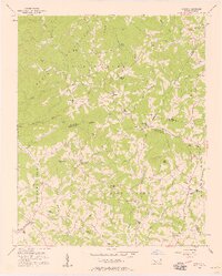
Historical Maps of Toluca Through Time
Featured Locations
Source Details
SourceU.S. Geological Survey
CopyrightPublic Domain