
1970 Map of Caseville
USGS Topo · Published 1972About this map
Caseville stands at the mouth of the Pigeon River, where the waterway meets the expansive waters of Saginaw Bay. This 1970 survey shows the village in its modern lakeside form, with many seasonal and permanent structures along the shoreline roads like Crescent Beach Road. Further inland, the map transitions into the agricultural landscape of Mc Kinley, characterized by a grid of rural roads and drainage infrastructure such as the Mc Kinley Drain. Local landmarks for genealogists and researchers include Caseville Cem, St Roch Ch, and St Johns Ch. The coastal geography is particularly detailed, showing the varied wetlands and inlets around Wildfowl Bay and Mud Lake, while the northern coastline is defined by Oak Point and the adjacent Oak Point Lake. Small inland water bodies like Doerr Lake and Little Doerr Lake dot the forested areas northeast of the town center.
Find a feature on this map
29 named features on this map. Tap any name to fly to it.
Don’t see what you’re looking for? This feature index may not catch every label — zoom into the map to look around manually.
Map Details
Editions of this 1970 Caseville Map
This is the sole edition of this map. No revisions or reprints were ever made.
Other maps of this area

1954 · Flint
USGS Topo · 1:250,000

1954 · Tawas City
USGS Topo · 1:250,000

1958 · Flint
USGS Topo · 1:250,000

1958 · Tawas City
USGS Topo · 1:250,000

1970 · Bay Port West
USGS Topo · 1:24,000

1970 · Bay Port East
USGS Topo · 1:24,000
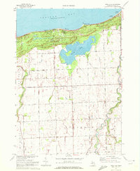
1970 · Rush Lake
USGS Topo · 1:24,000

1970 · Sand Point
USGS Topo · 1:24,000
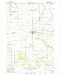
1970 · Elkton
USGS Topo · 1:24,000
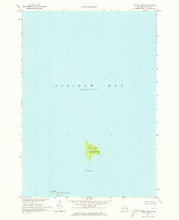
1970 · Charity Island
USGS Topo · 1:24,000