Loading...
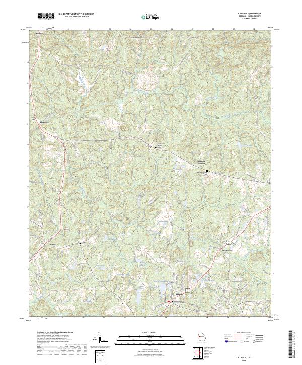
Loading map...2024 Map of Cataula
USGS Topo · Published 2024About this map
Hamilton and the southern reaches of Harris County are defined by a rolling landscape of creek branches and numerous private lakes that have shaped local settlement patterns. Small communities like Cataula, Ellerslie, and the intersection at Turntime Crossroads serve as focal points for this rural area, where family and congregational history is preserved at sites like the Longstreet Baptist Church Cem and the Saint Luke Primitive Baptist Church Cem.
Find a feature on this map
103 named features on this map. Tap any name to fly to it.
Don’t see what you’re looking for? This feature index may not catch every label — zoom into the map to look around manually.
Map Details
Date Portrayed2024
Date Published2024
PublisherU.S. Geological Survey
Map TypeTopographic
Scale1:24000
Physical Dimensions24 x 29 inches
Editions of this 2024 Cataula Map
This is the sole edition of this map. No revisions or reprints were ever made.
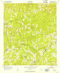
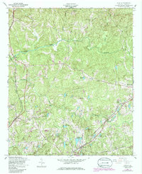
Historical Maps of Kingsboro Through Time
Featured Locations
Source Details
SourceU.S. Geological Survey
CopyrightPublic Domain