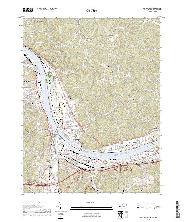
2022 Map of Catlettsburg
USGS Topo · Published 2022About this map
The Ohio River and Big Sandy River converge at the tristate boundary of Kentucky, Ohio, and West Virginia, anchoring a dense industrial and transit corridor. Catlettsburg and Kenova sit at this strategic junction, where CSX Transportation lines and the Boyd County Justice Center define the local infrastructure. Across the water, South Point and North Kenova mark the Ohio shoreline, while Ceredo and Huntington extend eastward into West Virginia. This modern survey illustrates the transition from river-based industry to recreational planning, noting the Middle Ohio River Trail (Proposed) Trl alongside legacy landmarks like Chimney Rock. Several family and community burial grounds, including the McComas Family Cem and Highland Memorial Gardens, provide valuable points of reference for local genealogical research in this long-settled river valley.
Find a feature on this map
69 named features on this map. Tap any name to fly to it.
Don’t see what you’re looking for? This feature index may not catch every label — zoom into the map to look around manually.
Map Details
Editions of this 2022 Catlettsburg Map
This is the sole edition of this map. No revisions or reprints were ever made.
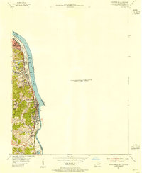
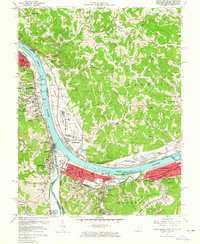
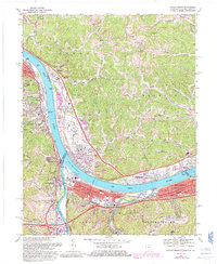
Historical Maps of Kenova Through Time
4 maps found