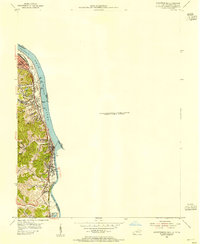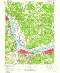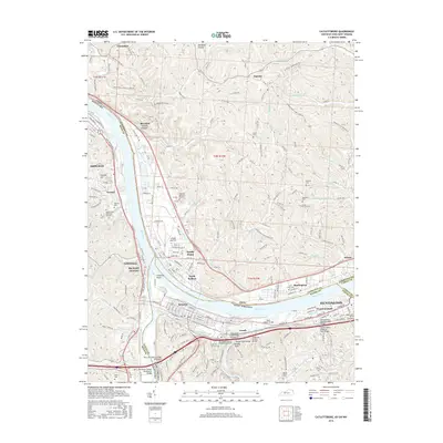
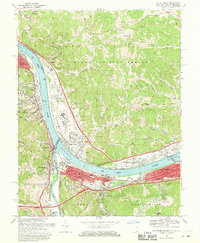
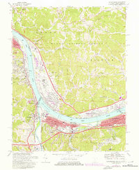
1968 Map of Catlettsburg
USGS Topo · Published 1985About this map
The confluence of the Ohio River and the Big Sandy River serves as the focal point for this tri-state area, where Kentucky, Ohio, and West Virginia meet. The river-driven industrial character is evident in the dense rail infrastructure, including the Chesapeake and Ohio and Norfolk and Western lines that weave through riverfront towns. In West Virginia, the communities of Kenova and Ceredo sit tightly between the waterways and the hills, while Catlettsburg anchors the Kentucky side at the strategic Virginia Point. Across the water in Ohio, the village of South Point and the riverside settlement of Burlington reflect the development following the path of U.S. 52. This 1968 edition, with revisions through the early 1980s, captures the growth of Huntington and its suburb Westmoreland, showing a landscape shaped by transportation, from river locks and pumping stations to the spreading footprints of the Ashland Vocational Sch and local cemeteries like Green Lawn Cem.
Find a feature on this map
62 named features on this map. Tap any name to fly to it.
Don’t see what you’re looking for? This feature index may not catch every label — zoom into the map to look around manually.
Map Details
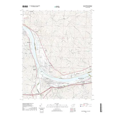
Editions of this 1968 Catlettsburg Map
3 editions found
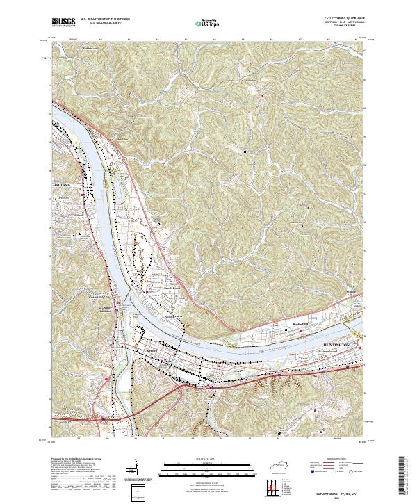
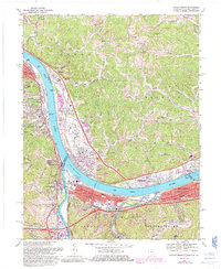
Historical Maps of Huntington Through Time
8 maps found