
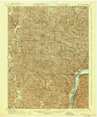
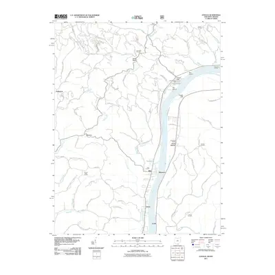
1906 Map of Athalia
USGS Topo · Published 1956About this map
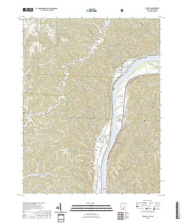
The Ohio River forms the eastern boundary of this Lawrence and Gallia County landscape, where the Baltimore and Ohio RR runs along the West Virginia bank near Lesage. In the early twentieth century, this region was defined by a dense network of small rural settlements and post offices such as Willowwood and Marion. River commerce is anchored by the Crown City Ferry and Millersport Ferry, providing critical connections between Ohio towns like Crown City and the neighboring hills of West Virginia.
Find a feature on this map
82 named features on this map. Tap any name to fly to it.
Don’t see what you’re looking for? This feature index may not catch every label — zoom into the map to look around manually.
Map Details
Editions of this 1906 Athalia Map
This is the sole edition of this map. No revisions or reprints were ever made.
Historical Maps of Aid Through Time
11 maps found
1906 Athalia
Lawrence County, OH
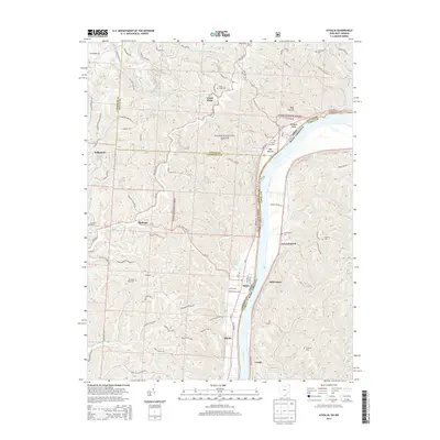
1908 Athalia
Lawrence County, OH
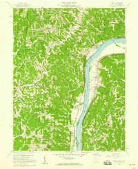
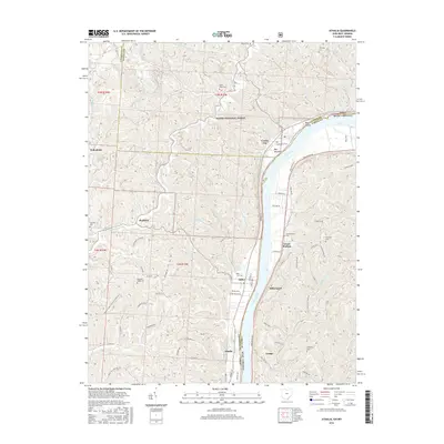
1958 Athalia
Lawrence County, OH
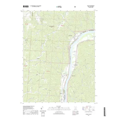
1968 Athalia
Lawrence County, OH

1976 Athalia
Lawrence County, OH
2002 Athalia
Lawrence County, OH
2011 Athalia
Lawrence County, OH
2013 Athalia
Lawrence County, OH
2016 Athalia
Lawrence County, OH
2019 Athalia
Lawrence County, OH
2023 Athalia
Lawrence County, OH