
1902 Map of Milton
USGS Topo · Published 1902About this map
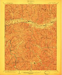
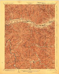
The Chesapeake and Ohio RR corridor serves as the primary artery for trade and travel through Teays Valley, connecting the settlements of Milton and Hurricane. This era of the western Virginia hills reveals a landscape defined by sharp ridges and deep hollows, where life centered on the Mud River and Guyandot River. Early industrial and commercial hubs are visible at Howell Mill and McGhee Store, while the mineral waters of Blue Sulphur Springs suggest the region's early importance as a local destination.
Find a feature on this map
66 named features on this map. Tap any name to fly to it.
Don’t see what you’re looking for? This feature index may not catch every label — zoom into the map to look around manually.
Map Details
Editions of this 1902 Milton Map
3 editions found
Other maps of this area

1892 · Huntington
USGS Topo · 1:125,000

1898 · Huntington
USGS Topo · 1:125,000

1899 · Charleston
USGS Topo · 1:125,000

1901 · Guyandot
USGS Topo · 1:62,500

1902 · Guyandot
USGS Topo · 1:62,500

1902 · Midkiff
USGS Topo · 1:62,500

1906 · Athalia
USGS Topo · 1:62,500

1906 · Glenwood
USGS Topo · 1:62,500

1906 · Winfield
USGS Topo · 1:62,500

1907 · Midkiff
USGS Topo · 1:62,500