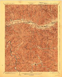
1902 Map of Milton
USGS Topo · Published 1925About this map
The Mud River carves a winding path through this corner of West Virginia, dictating the early 20th-century settlement patterns of Milton and Culloden. This 1902 survey, published in 1925, reveals a landscape at the intersection of traditional river-based industry and the burgeoning coal and timber transport era. The heavy black line of the Chesapeake and Ohio Railway follows the river valley, serving as the primary commercial artery for the region.
Find a feature on this map
74 named features on this map. Tap any name to fly to it.
Don’t see what you’re looking for? This feature index may not catch every label — zoom into the map to look around manually.
Map Details
Editions of this 1902 Milton Map
3 editions found
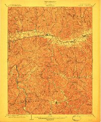
Other maps of this area

1892 · Huntington
USGS Topo · 1:125,000

1898 · Huntington
USGS Topo · 1:125,000

1899 · Charleston
USGS Topo · 1:125,000

1901 · Guyandot
USGS Topo · 1:62,500

1902 · Guyandot
USGS Topo · 1:62,500

1902 · Milton
USGS Topo · 1:62,500

1902 · Midkiff
USGS Topo · 1:62,500

1906 · Athalia
USGS Topo · 1:62,500

1906 · Glenwood
USGS Topo · 1:62,500

1906 · Winfield
USGS Topo · 1:62,500