
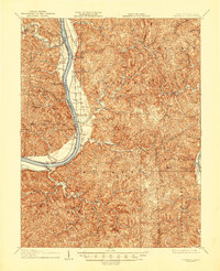
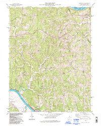
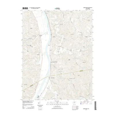
1906 Map of Glenwood
USGS Topo · Published 1958About this map
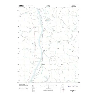
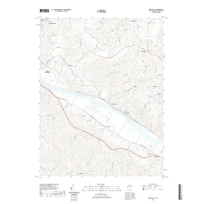
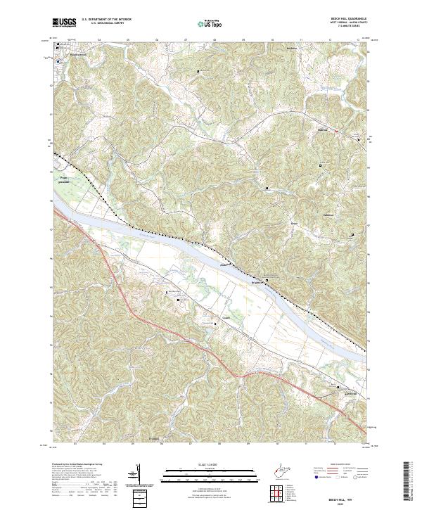
The Ohio River carves a deep valley between West Virginia and Ohio on this 1905-1906 survey, defining the industrial and social character of the region at the start of the twentieth century. Along the eastern bank, the Baltimore and Ohio RR tracks parallel the water, connecting riverfront landings and post offices like Chambersburg Eureka PO and Thivener PO. The map captures a landscape of small agricultural settlements and landing points such as Apple Grove, Mercers Bottom, and Ben Lomond, which relied on the river-and-rail corridor for commerce.
Find a feature on this map
84 named features on this map. Tap any name to fly to it.
Don’t see what you’re looking for? This feature index may not catch every label — zoom into the map to look around manually.
Map Details
Editions of this 1906 Glenwood Map
This is the sole edition of this map. No revisions or reprints were ever made.
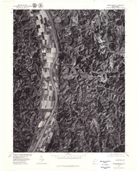
Historical Maps of Mohrtown Through Time
34 maps found
1906 Glenwood
Mason County, WV
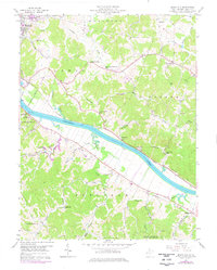
1908 Glenwood
Mason County, WV
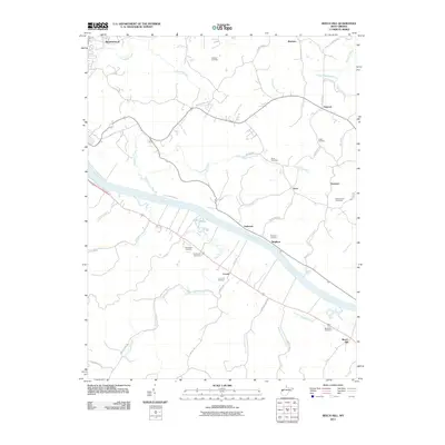
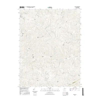
1957 Beech Hill
Mason County, WV
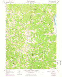
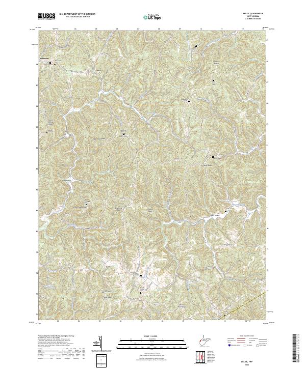
1958 Arlee
Mason County, WV
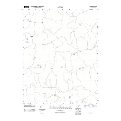
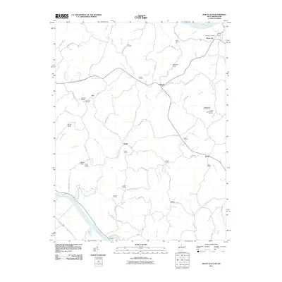
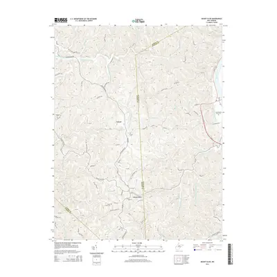
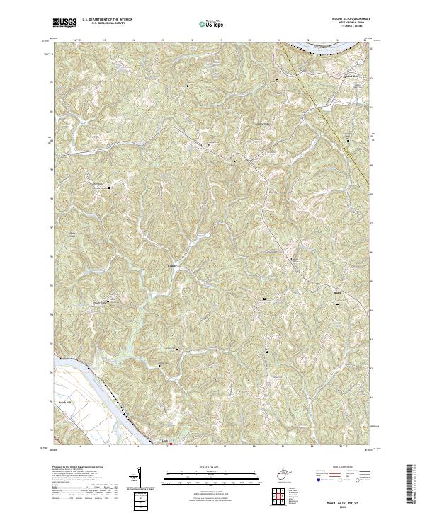
1958 Mount Alto
Mason County, WV
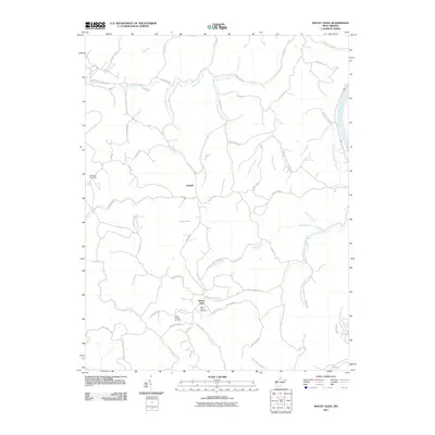
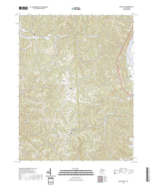
1958 Mount Olive
Mason County, WV
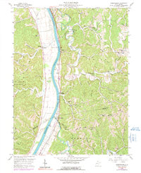
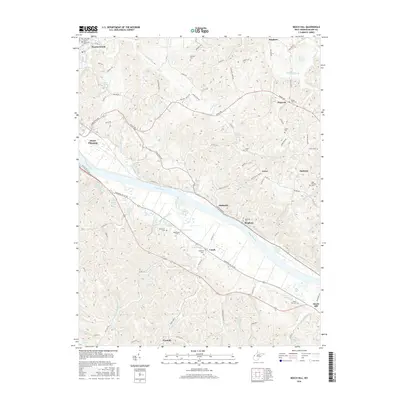
1958 Robertsburg
Mason County, WV
1977 Robertsburg
Mason County, WV
1994 Mount Alto
Mason County, WV
2011 Arlee
Mason County, WV
2011 Beech Hill
Mason County, WV
2011 Mount Alto
Mason County, WV
2011 Mount Olive
Mason County, WV
2011 Robertsburg
Mason County, WV
2014 Arlee
Mason County, WV
2014 Beech Hill
Mason County, WV
2014 Mount Alto
Mason County, WV
2014 Mount Olive
Mason County, WV
2014 Robertsburg
Mason County, WV
2016 Arlee
Mason County, WV
2016 Beech Hill
Mason County, WV
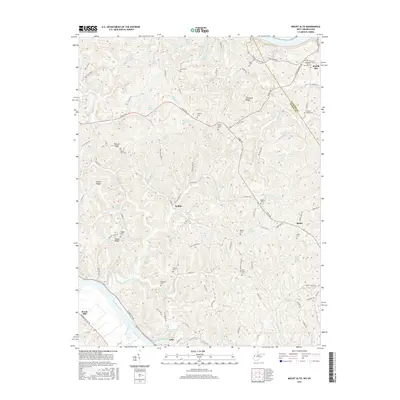
2016 Mount Alto
Mason County, WV
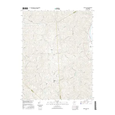
2016 Mount Olive
Mason County, WV
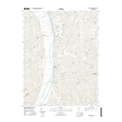
2016 Robertsburg
Mason County, WV
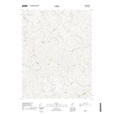
2019 Arlee
Mason County, WV
2019 Beech Hill
Mason County, WV
2019 Mount Alto
Mason County, WV
2019 Mount Olive
Mason County, WV
2019 Robertsburg
Mason County, WV
2023 Arlee
Mason County, WV
2023 Beech Hill
Mason County, WV
2023 Mount Alto
Mason County, WV
2023 Mount Olive
Mason County, WV
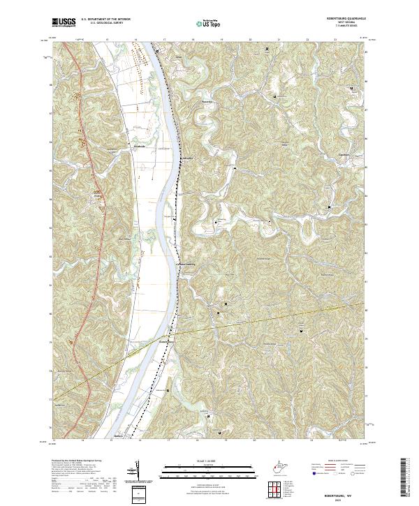
2023 Robertsburg
Mason County, WV