
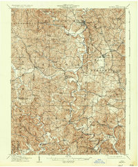
1908 Map of Bidwell
USGS Topo · Published 1908About this map
Raccoon Creek and its many tributaries, including Little Raccoon Creek and Symmes Creek, dominate the rural landscape of Gallia County at the dawn of the twentieth century. The map reveals a dense network of country schools and churches that served these isolated farming communities, such as Tomato Valley School, Gravel Hollow School, and the remote Nebo Church.
Find a feature on this map
91 named features on this map. Tap any name to fly to it.
Don’t see what you’re looking for? This feature index may not catch every label — zoom into the map to look around manually.
Map Details
Editions of this 1908 Bidwell Map
2 editions found
Other maps of this area

1898 · Ironton
USGS Topo · 1:62,500

1900 · Ironton
USGS Topo · 1:62,500

1905 · Wilkesville
USGS Topo · 1:62,500

1906 · Bidwell
USGS Topo · 1:62,500

1906 · Athalia
USGS Topo · 1:62,500

1906 · Glenwood
USGS Topo · 1:62,500

1907 · Pomeroy
USGS Topo · 1:62,500

1908 · Athalia
USGS Topo · 1:62,500

1908 · Glenwood
USGS Topo · 1:62,500

1908 · Point Pleasant
USGS Topo · 1:62,500