Loading...
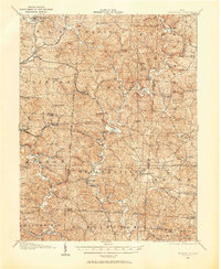
Loading map...1905 Map of Wilkesville
USGS Topo · Published 1958About this map
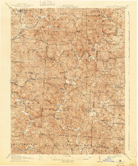
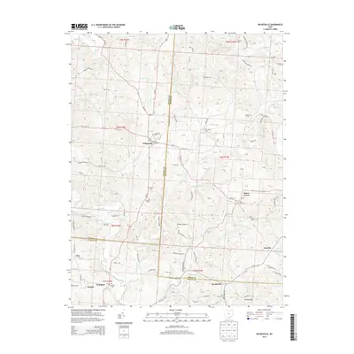
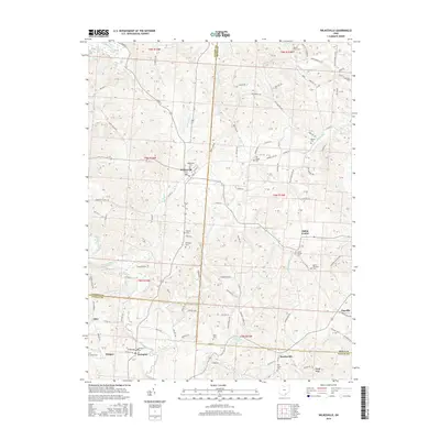
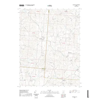
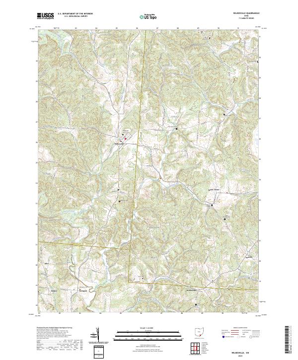
The iron and coal landscape of southeastern Ohio is defined here by the industrial legacy of Vinton Furnace and Hamden Furnace, marking a period when the Hanging Rock Iron Region was still heavily etched into the terrain. The map details a complex web of early transportation including the Hocking Valley RR and the Keystone Turnpike, which served isolated rural settlements such as Minerton, Arbaugh, and Radcliff.
Find a feature on this map
112 named features on this map. Tap any name to fly to it.
Don’t see what you’re looking for? This feature index may not catch every label — zoom into the map to look around manually.
Map Details
Date Portrayed1905
Date Published1958
PublisherU.S. Geological Survey
Map TypeTopographic
Scale1:62,500
Physical Dimensions17 x 20.8 inches
Editions of this 1905 Wilkesville Map
This is the sole edition of this map. No revisions or reprints were ever made.
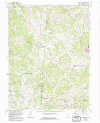
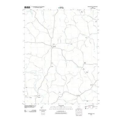
Historical Maps of McArthur Through Time
8 maps found
Featured Locations
Source Details
SourceU.S. Geological Survey
CopyrightPublic Domain