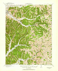
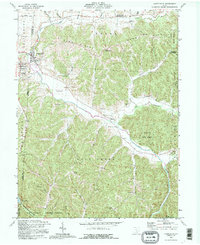
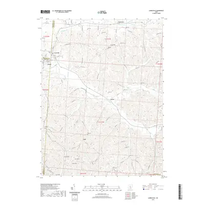
1910 Map of Laurelville
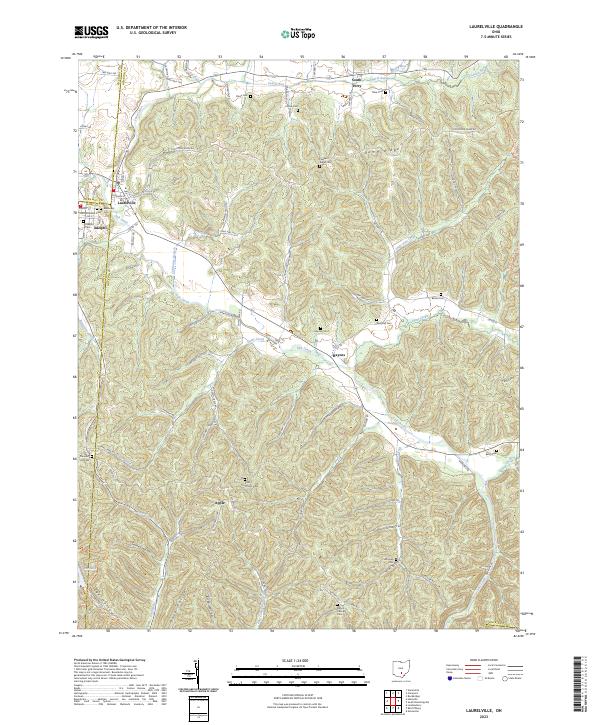
USGS Topo · Published 1962About this map
Indian Mound stands as a prominent ancient landmark in this 1910 survey, located south of the busy intersection at Adelphi and Laurelville. The landscape is defined by the steep drainage basins of Salt Creek and Little Pine Creek, where a dense network of one-room schoolhouses like Karshner School and Brimstone School served the isolated ridge-top and valley communities. The transportation story is one of transition, as the Columbus and Southern RR (Abandoned) is already noted as out of service, giving way to overland routes like the Chillicothe And Mcarthur Road. This area, crossing from Hocking into Vinton and Ross counties, shows a high concentration of community centers anchored by rural churches such as Macedonia Church and St Pauls Church, alongside the early footings of what would become popular nature sites at Ash Cave and Cedar Falls.
Find a feature on this map
95 named features on this map. Tap any name to fly to it.
Don’t see what you’re looking for? This feature index may not catch every label — zoom into the map to look around manually.
Map Details
Editions of this 1910 Laurelville Map
This is the sole edition of this map. No revisions or reprints were ever made.
Historical Maps of Laurelville Through Time
10 maps found
1910 Laurelville
Hocking County, OH
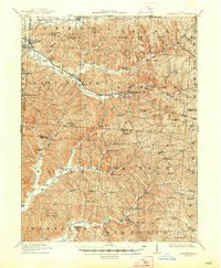
1912 Laurelville
Hocking County, OH
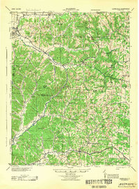
1944 Laurelville
Hocking County, OH
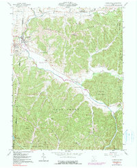
1961 Laurelville
Hocking County, OH
1992 Laurelville
Hocking County, OH
2010 Laurelville
Hocking County, OH
2013 Laurelville
Hocking County, OH
2016 Laurelville
Hocking County, OH
2019 Laurelville
Hocking County, OH
2023 Laurelville
Hocking County, OH