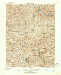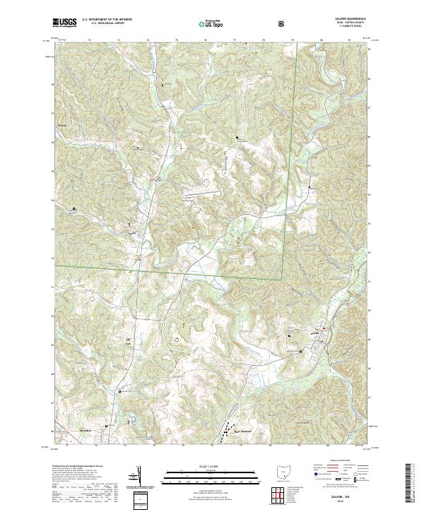
1907 Map of Zaleski
USGS Topo · Published 1944About this map
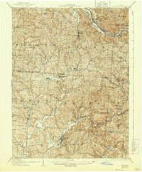
Zaleski serves as a focal point for the coal and timber country of southern Ohio, where the early twentieth-century landscape is defined by its industrial rail networks. The Baltimore and Ohio Southwestern RR snakes through the valleys, connecting remote settlements like Moonville and Mineral to the wider region. Further north, the Hocking Valley RR follows the course of the Hocking River, passing through manufacturing outposts such as Haydenville and East Clayton. The terrain is deeply dissected by drainages like Raccoon Creek and Hewett Fork, creating a rugged isolation that defined local life in townships like Brown and Madison. Genealogists will find interest in the numerous small settlements, including Islesboro, New Plymouth, and Orland, which illustrate the density of rural community life before the consolidation of the mid-twentieth century.
Find a feature on this map
50 named features on this map. Tap any name to fly to it.
Don’t see what you’re looking for? This feature index may not catch every label — zoom into the map to look around manually.
Map Details
Editions of this 1907 Zaleski Map
This is the sole edition of this map. No revisions or reprints were ever made.
Historical Maps of Nelsonville Through Time
9 maps found