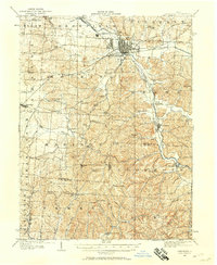
1907 Map of Lancaster
USGS Topo · Published 1958About this map
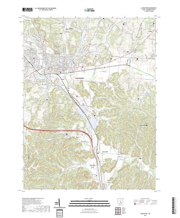
Lancaster serves as the focal point of this Fairfield County survey, where the Hocking River meets a complex network of early 20th-century transportation. The map reveals the transition from canal-era infrastructure to the dominance of the Pennsylvania System and the Columbus Valley Electric lines. A significant landmark is the sprawling State Industrial School located south of the city, while the southern reaches of the quadrangle transition into the distinctively carved valleys of the Hocking and Berne townships. Evidence of the region's earlier commercial history remains visible in the trace of the Abandoned Hocking Canal, which parallels the river. Throughout the surrounding countryside, a dense network of one-room schoolhouses like Tarkiln School and Blue Valley School, alongside rural congregational centers such as Union Church and Hopewell Church, provides a clear view of the established social fabric of the era.
Find a feature on this map
82 named features on this map. Tap any name to fly to it.
Don’t see what you’re looking for? This feature index may not catch every label — zoom into the map to look around manually.
Map Details
Editions of this 1907 Lancaster Map
This is the sole edition of this map. No revisions or reprints were ever made.
Historical Maps of Lancaster Through Time
9 maps found
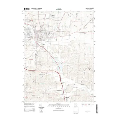
1907 Lancaster
Fairfield County, OH
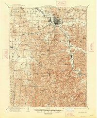
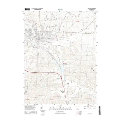
1909 Lancaster
Fairfield County, OH
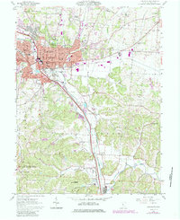
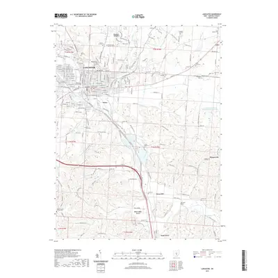
1961 Lancaster
Fairfield County, OH

1984 Lancaster
Fairfield County, OH
2010 Lancaster
Fairfield County, OH
2013 Lancaster
Fairfield County, OH
2016 Lancaster
Fairfield County, OH
2019 Lancaster
Fairfield County, OH
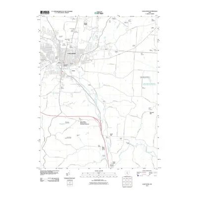
2023 Lancaster
Fairfield County, OH