Loading...
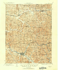
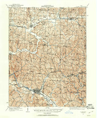
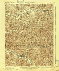
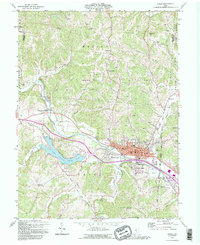
Loading map...1907 Map of Logan
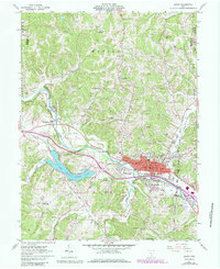
USGS Topo · Published 1954About this map
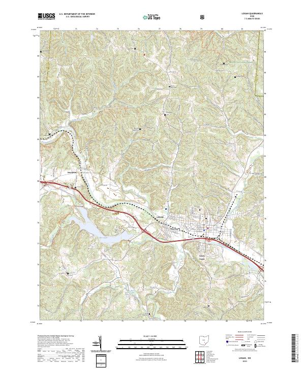
The Hocking River and its accompanying Hocking Valley RR corridor define the industrial and social landscape of this early twentieth-century survey. At the center of the sheet, the town of Logan serves as a major hub, surrounded by a dense network of rural infrastructure including the County Infirmary and Childrens Home. To the east, the presence of Bessie Furnace and Bairds Furnace near Gore points to the region's historical reliance on iron production and mineral resources during a period of heavy industrialization.
Find a feature on this map
79 named features on this map. Tap any name to fly to it.
Don’t see what you’re looking for? This feature index may not catch every label — zoom into the map to look around manually.
Map Details
Date Portrayed1907
Date Published1954
PublisherU.S. Geological Survey
Map TypeTopographic
Scale1:62,500
Physical Dimensions17.1 x 20.8 inches
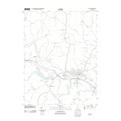
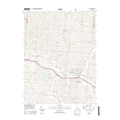
Editions of this 1907 Logan Map
2 editions found
Historical Maps of Bremen Through Time
9 maps found
Featured Locations
Source Details
SourceU.S. Geological Survey
CopyrightPublic Domain