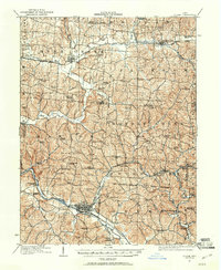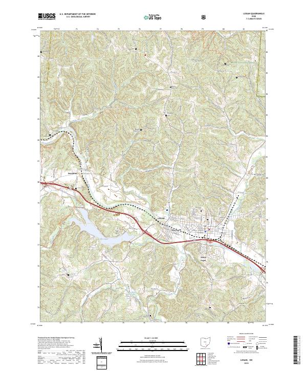
1909 Map of Logan
USGS Topo · Published 1941About this map
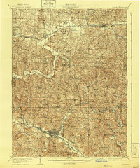
Logan serves as the industrial and civic anchor of this southeastern Ohio landscape, where the Hocking Valley R. R. follows the path of the Hocking River. The region’s early 20th-century economy is clearly visible through the presence of iron industry sites like Bessie Furnace and Bairds Furnace, alongside a dense network of country schools such as Sugar Hill School and Nickelplate School. The convergence of multiple rail lines, including the Pennsylvania System and the Baltimore and Ohio, highlights the importance of Bremen and Junction City as transit hubs for local resources.
Find a feature on this map
79 named features on this map. Tap any name to fly to it.
Don’t see what you’re looking for? This feature index may not catch every label — zoom into the map to look around manually.
Map Details
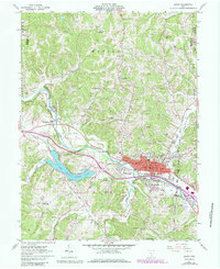
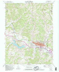
Editions of this 1909 Logan Map
This is the sole edition of this map. No revisions or reprints were ever made.
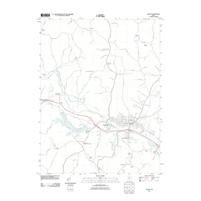
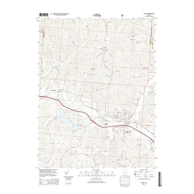
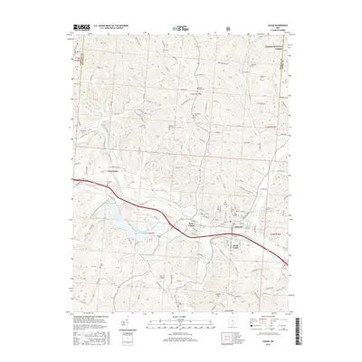
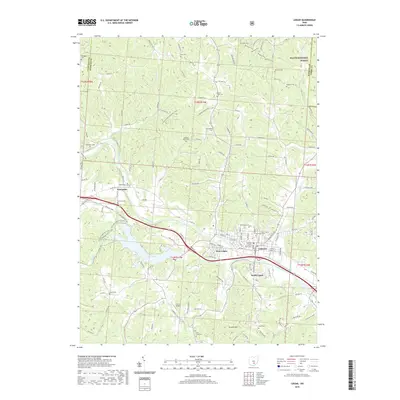
Historical Maps of Bremen Through Time
9 maps found