
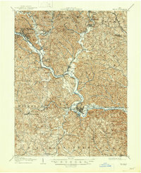
1903 Map of Athens
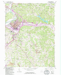
USGS Topo · Published 1958About this map
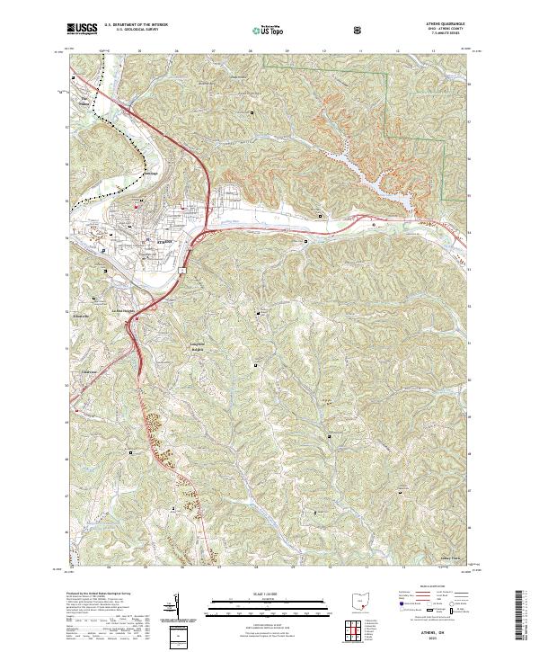
Athens serves as the hub of this early twentieth-century landscape, where the Hocking River carves a deep valley through the dissected plateau of southeastern Ohio. The map captures a critical era for the Hocking Valley coal region, evidenced by the dense network of mining towns and rail spurs concentrated along Monday Creek and Snow Fork. Communities like Nelsonville, Buchtel, and Orbiston are shown at their industrial peak, connected by the Hocking Valley railroad and various coal-hauling lines. Away from the river corridors, the terrain remains steep and wooded, punctuated by landmarks such as Mt Nebo and numerous "hollows" and "runs" that define the local geography. The presence of the Electric railway and the Baltimore and Ohio Southwestern railroad further illustrates the complex transportation infrastructure required to move both coal and passengers between settlements like Glouster and New Marshfield.
Find a feature on this map
80 named features on this map. Tap any name to fly to it.
Don’t see what you’re looking for? This feature index may not catch every label — zoom into the map to look around manually.
Map Details
Editions of this 1903 Athens Map
This is the sole edition of this map. No revisions or reprints were ever made.
Historical Maps of Athens Through Time
9 maps found
Featured Locations
- Glouster, Trimble Township
- Chauncey, Dover Township
- Nelsonville, Trimble Township
- Athens, Athens Township
- The Plains, Athens Township