
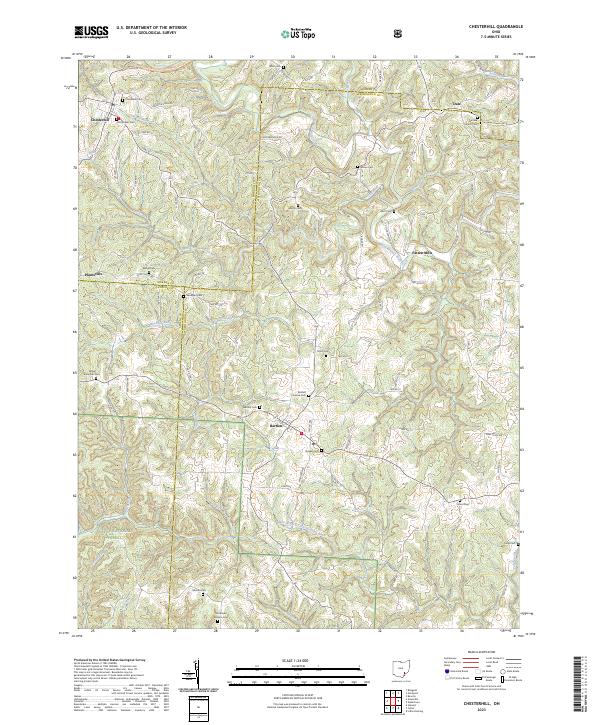
1904 Map of Chesterhill
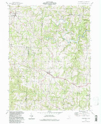
USGS Topo · Published 1957About this map
Chesterhill stands as a central hilltop hub in this 1904 survey of the borderlands between Morgan, Athens, and Washington counties. The landscape is defined by the winding course of the Hocking River and the complex rail network that served the regional economy at the turn of the century. Three distinct rail lines, including the Baltimore and Ohio and the Marietta Columbus and Cleveland, cut through the drainage basins of Federal Creek and Marietta Run, connecting small coal and timber settlements like Lathrop and Sharpsburg.
Find a feature on this map
94 named features on this map. Tap any name to fly to it.
Don’t see what you’re looking for? This feature index may not catch every label — zoom into the map to look around manually.
Map Details
Editions of this 1904 Chesterhill Map
This is the sole edition of this map. No revisions or reprints were ever made.
Historical Maps of Chesterhill Through Time
10 maps found
1904 Chesterhill
Morgan County, OH

1906 Chesterhill
Morgan County, OH
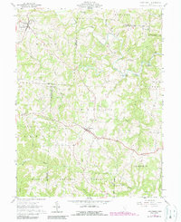
1961 Chesterhill
Morgan County, OH
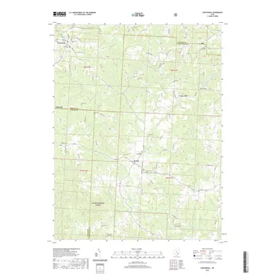
1994 Chesterhill
Morgan County, OH
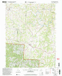
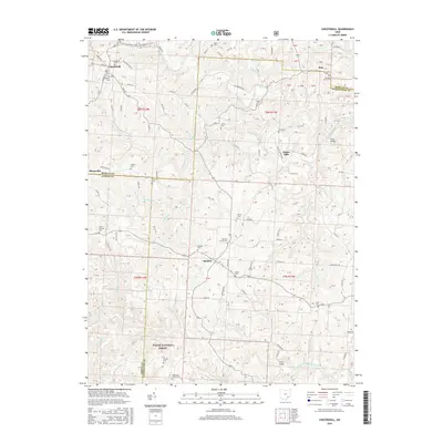
2002 Chesterhill
Morgan County, OH
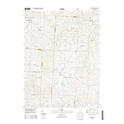
2011 Chesterhill
Morgan County, OH
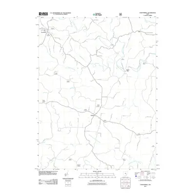
2013 Chesterhill
Morgan County, OH
2016 Chesterhill
Morgan County, OH
2019 Chesterhill
Morgan County, OH
2023 Chesterhill
Morgan County, OH