
Loading...
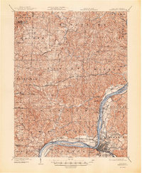
Loading map...1902 Map of Parkersburg
USGS Topo · Published 1902About this map
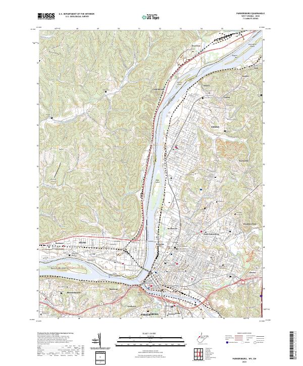
The confluence of the Little Kanawha River and the Ohio River centers this 1902 survey, illustrating the industrial and transport hub of Parkersburg. The map captures a critical period of riverfront development and rail expansion, with the Baltimore and Ohio R. R. tracing the shorelines of both Ohio and West Virginia. On the Ohio side, the Muskingum River flows into the valley, supporting a network of riverside settlements like Belpre and Rockland.
Find a feature on this map
78 named features on this map. Tap any name to fly to it.
Don’t see what you’re looking for? This feature index may not catch every label — zoom into the map to look around manually.
Map Details
Date Portrayed1902
Date Published1902
PublisherU.S. Geological Survey
Map TypeTopographic
Scale1:62,500
Physical Dimensions17 x 20.8 inches
Editions of this 1902 Parkersburg Map
This is the sole edition of this map. No revisions or reprints were ever made.
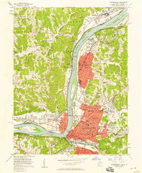
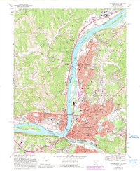
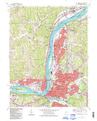
Historical Maps of Parkersburg Through Time
7 maps found

Featured Locations
Source Details
SourceU.S. Geological Survey
CopyrightPublic Domain