
1903 Map of Macksburg
USGS Topo · Published 1958About this map
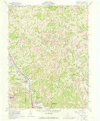
Duck Creek and its many branches, including the West Fork Duck Creek and East Fork Duck Creek, dominate the drainage of this rugged section of Noble, Washington, and Monroe counties. At the turn of the twentieth century, the landscape was a patchwork of small townships like Olive, Enoch, and Aurelius, where rural life centered around local post offices and rail stops. The Pennsylvania Lines and the B and O R R provided critical transport through the valleys, connecting settlements such as Macksburg, Dexter City, and Lower Salem to larger markets. Notable for genealogists are the numerous scattered settlements and specific post office locations like Carlisle Berne PO and Germantown Saltpeter PO. The map also captures specialized transport routes in the southwest, specifically the Steamboat Route and Zanesville Route, reflecting the era's reliance on river-and-road networks.
Find a feature on this map
70 named features on this map. Tap any name to fly to it.
Don’t see what you’re looking for? This feature index may not catch every label — zoom into the map to look around manually.
Map Details
Editions of this 1903 Macksburg Map
This is the sole edition of this map. No revisions or reprints were ever made.
Historical Maps of Caldwell Through Time
9 maps found
1903 Macksburg
Washington County, OH

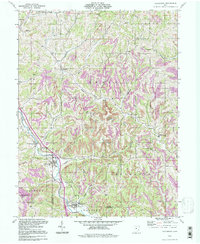
1905 Macksburg
Washington County, OH
1961 Macksburg
Washington County, OH
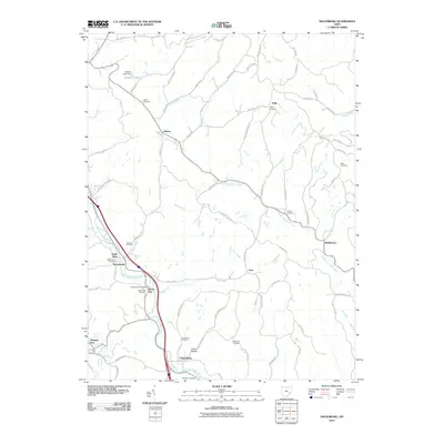
1994 Macksburg
Washington County, OH
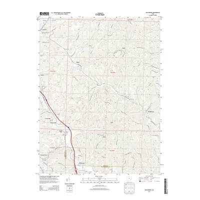
2010 Macksburg
Washington County, OH
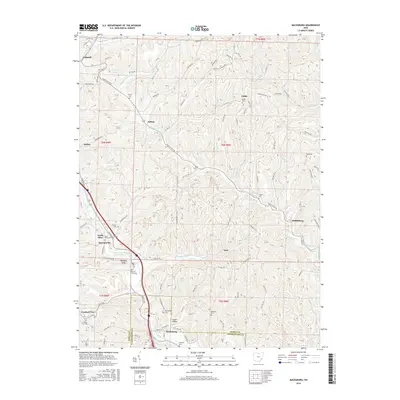
2013 Macksburg
Washington County, OH
2016 Macksburg
Washington County, OH
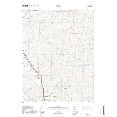
2019 Macksburg
Washington County, OH
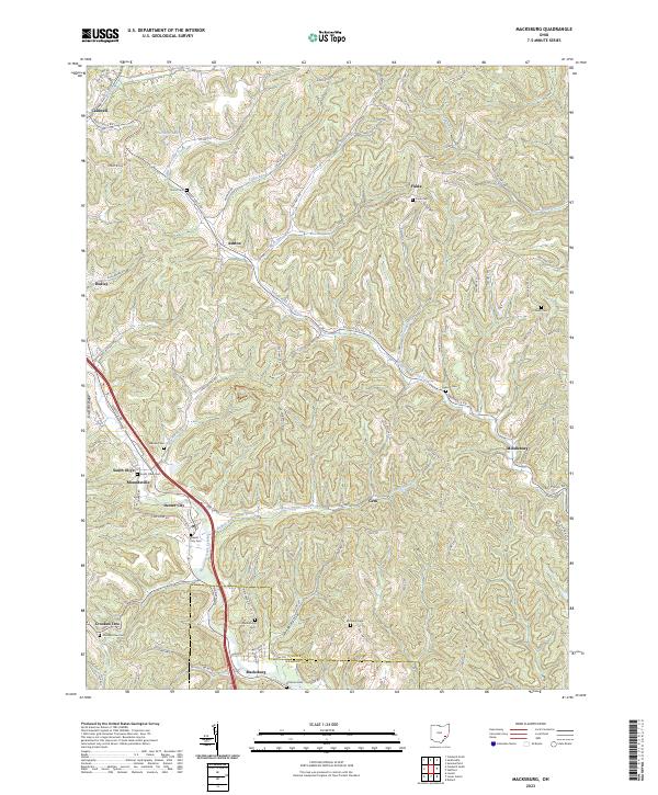
2023 Macksburg
Washington County, OH