
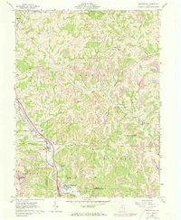
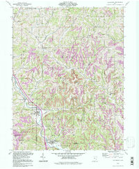
1905 Map of Macksburg
USGS Topo · Published 1948About this map
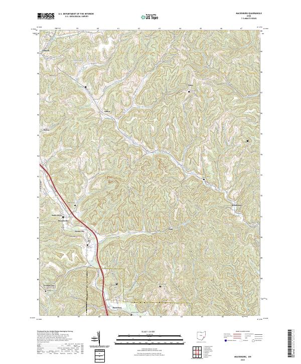
Duck Creek carves a central path through this turn-of-the-century landscape, serving as a primary corridor for the Cleveland and Marietta Div (P. R. R.) railroad. The topography is defined by intricate drainage networks, where numerous small settlements like Macksburg, Dexter City, and Lower Salem established themselves at the junctions of local runs and creek forks. In the southeastern corner, the Muskingum River features a designated Steamboat Route, highlighting the transition from river-based commerce to the expanding rail lines of the Cleveland and Marietta Div (P. R. R.).
Find a feature on this map
60 named features on this map. Tap any name to fly to it.
Don’t see what you’re looking for? This feature index may not catch every label — zoom into the map to look around manually.
Map Details
Editions of this 1905 Macksburg Map
This is the sole edition of this map. No revisions or reprints were ever made.
Historical Maps of Caldwell Through Time
9 maps found

1903 Macksburg
Washington County, OH
1905 Macksburg
Washington County, OH
1961 Macksburg
Washington County, OH
1994 Macksburg
Washington County, OH
2010 Macksburg
Washington County, OH
2013 Macksburg
Washington County, OH
2016 Macksburg
Washington County, OH
2019 Macksburg
Washington County, OH
2023 Macksburg
Washington County, OH