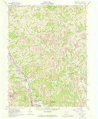
1961 Map of Macksburg
USGS Topo · Published 1973About this map
Penn Central rail lines and the winding waters of the Middle Fork Duck Creek define the corridor of the Macksburg area during the early 1960s. This survey, later updated in the 1970s, reveals a landscape shaped by both extraction and early settlement, where numerous Gas Well sites and Strip Mine operations dot the hillsides of Enoch and Stock townships. The map serves as a vital record for genealogists, detailing small community centers like South Olive, Dexter City, and the village of Fulda.
Find a feature on this map
41 named features on this map. Tap any name to fly to it.
Don’t see what you’re looking for? This feature index may not catch every label — zoom into the map to look around manually.
Map Details
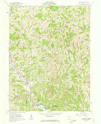
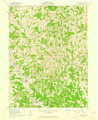
Editions of this 1961 Macksburg Map
3 editions found
Other maps of this area

1903 · Macksburg
USGS Topo · 1:62,500

1905 · Macksburg
USGS Topo · 1:62,500

1909 · Caldwell
USGS Topo · 1:62,500

1909 · Summerfield
USGS Topo · 1:62,500

1911 · Cumberland
USGS Topo · 1:62,500

1911 · Summerfield
USGS Topo · 1:62,500

1912 · Caldwell
USGS Topo · 1:62,500

1949 · Clarksburg
USGS Topo · 1:250,000

1956 · Clarksburg
USGS Topo · 1:250,000

1961 · Clarksburg
USGS Topo · 1:250,000