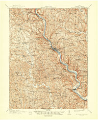
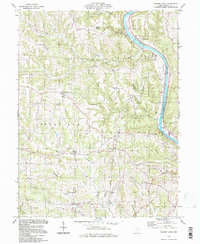
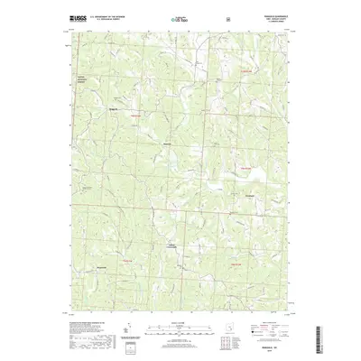
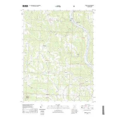
1910 Map of Mc Connelsville
USGS Topo · Published 1948About this map
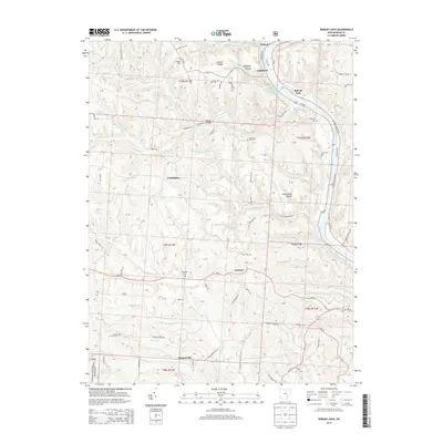
The Muskingum River carves a deep valley through Morgan County, serving as the primary corridor for commerce and settlement at the start of the 20th century. Twin towns Mc Connelsville and Malta anchor the central riverbanks, connected by the Cotton Bridge and supported by infrastructure including the Fairgrounds, Orphans Home, and County Infirmary. This survey captures the region's complex rural social structure, evidenced by a dense network of country schools such as White Pigeon School and Election School.
Find a feature on this map
135 named features on this map. Tap any name to fly to it.
Don’t see what you’re looking for? This feature index may not catch every label — zoom into the map to look around manually.
Map Details
Editions of this 1910 Mc Connelsville Map
This is the sole edition of this map. No revisions or reprints were ever made.
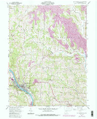
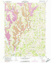
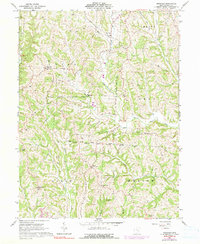
Historical Maps of McConnelsville Through Time
24 maps found
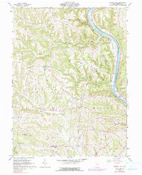
1910 Mc Connelsville
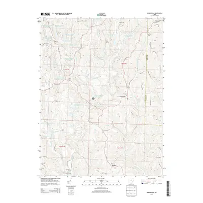
Morgan County, OH
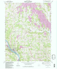
1961 Mc Connelsville
Morgan County, OH
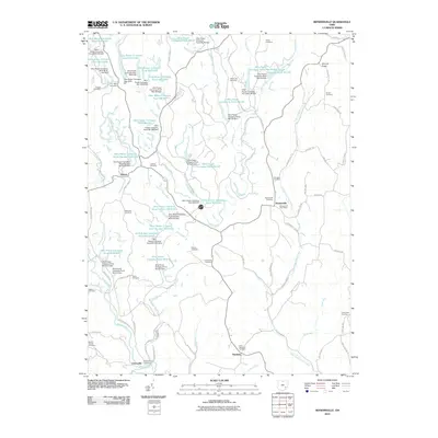
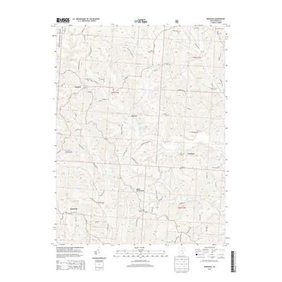
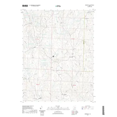
1961 Reinersville
Morgan County, OH
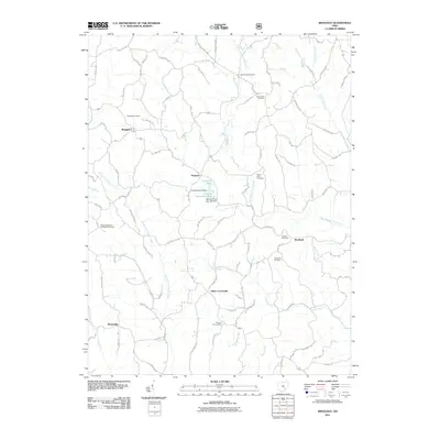
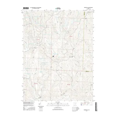
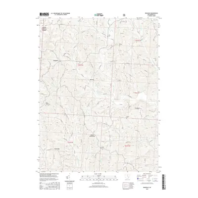
1961 Ringgold
Morgan County, OH
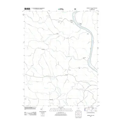
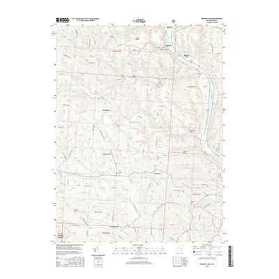
1961 Rokeby Lock
Morgan County, OH
1994 Mc Connelsville
Morgan County, OH
1994 Reinersville
Morgan County, OH
1994 Ringgold
Morgan County, OH
1994 Rokeby Lock
Morgan County, OH
2010 Reinersville
Morgan County, OH
2011 Ringgold
Morgan County, OH
2011 Rokeby Lock
Morgan County, OH
2013 Reinersville
Morgan County, OH
2013 Ringgold
Morgan County, OH
2013 Rokeby Lock
Morgan County, OH
2016 Reinersville
Morgan County, OH
2016 Ringgold
Morgan County, OH
2016 Rokeby Lock
Morgan County, OH
2019 Reinersville
Morgan County, OH
2019 Ringgold
Morgan County, OH
2019 Rokeby Lock
Morgan County, OH
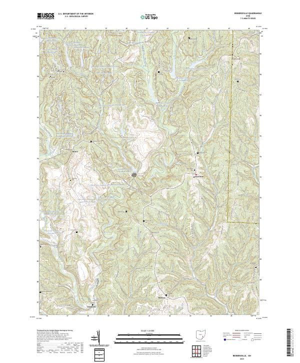
2023 Reinersville
Morgan County, OH
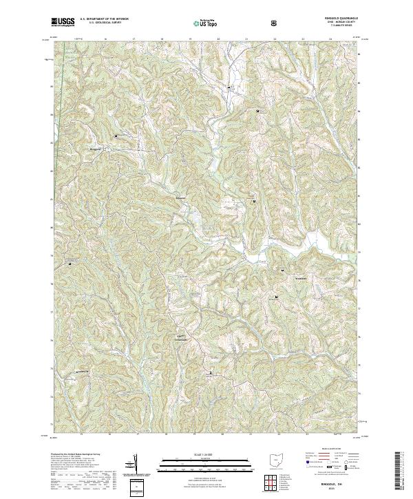
2023 Ringgold
Morgan County, OH
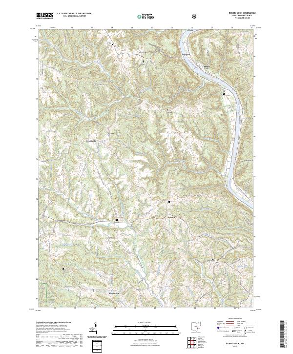
2023 Rokeby Lock
Morgan County, OH