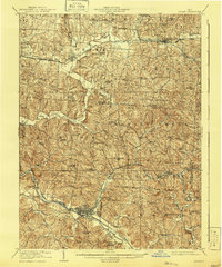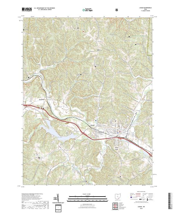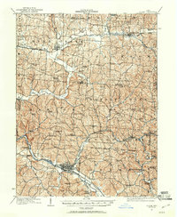
1907 Map of Logan
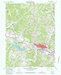
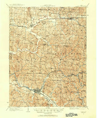
USGS Topo · Published 1961About this map
The Hocking River valley serves as the industrial and transportation anchor for this early twentieth-century landscape, dominated by the bustling rail hub of Logan. As the county seat, Logan is depicted with its dense urban grid, flanked by essential social institutions like the County Infirmary and the Childrens Home. To the northeast, the presence of Bessie Furnace and Bairds Furnace highlights the region's significant role in Ohio's iron and coal production, while a dense network of country schools such as Pigeonroost School and Sugar Hill School illustrates the distribution of rural townships like Rush Creek and Monday Creek. Significant infrastructure includes the Pennsylvania System and the Cincinnati and Muskingum Valley RR, which connected agricultural towns like Bremen and Junction City to wider markets. Traces of early transport history are visible in the Canal remnant along the river and the defined Ohio Company Purchase North Boundary.
Find a feature on this map
85 named features on this map. Tap any name to fly to it.
Don’t see what you’re looking for? This feature index may not catch every label — zoom into the map to look around manually.
Map Details
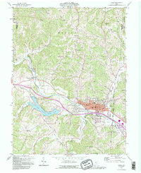
Editions of this 1907 Logan Map
2 editions found
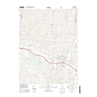
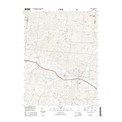
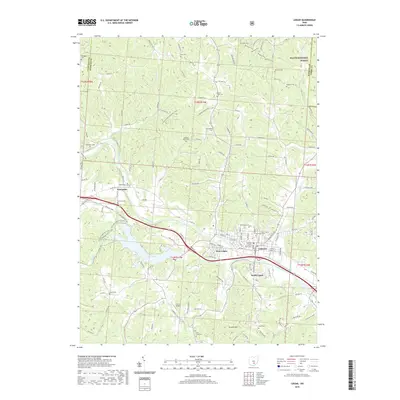
Historical Maps of Bremen Through Time
9 maps found