
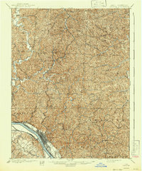
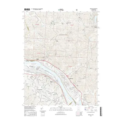
1900 Map of Ironton
USGS Topo · Published 1918About this map
Ironton's industrial landscape at the close of the nineteenth century is defined by its strategic position along the Ohio River and its deep connections to the iron industry. The map reveals a high density of named furnaces and railroad junctions, such as Vesuvius Furnace, Center Furnace, and Etna Junction, which powered the regional economy. Beyond the riverfront, the terrain is a complex network of hollows and ridges like Phillips Knob and Stewart Knob, where small post offices like Culbertson P.O. and Campbell P.O. served dispersed communities. This era shows the transition between established river commerce and the expanding rail networks of the Norfolk and Western R.R. and the Cincinnati Hamilton & Dayton R.R.. Local history is further highlighted by landmarks such as the Indian Mound and the large Woodland Cemetery near the river bend.
Find a feature on this map
89 named features on this map. Tap any name to fly to it.
Don’t see what you’re looking for? This feature index may not catch every label — zoom into the map to look around manually.
Map Details
Editions of this 1900 Ironton Map
2 editions found
Historical Maps of Ironton Through Time
13 maps found

1898 Ironton
Lawrence County, OH
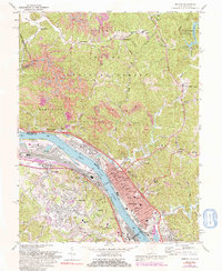
1900 Ironton
Lawrence County, OH
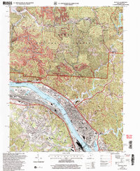
1953 Ironton
Lawrence County, OH
1958 Ironton
Lawrence County, OH
1961 Ironton
Lawrence County, OH
1972 Ironton
Lawrence County, OH

1981 Ironton
Lawrence County, OH
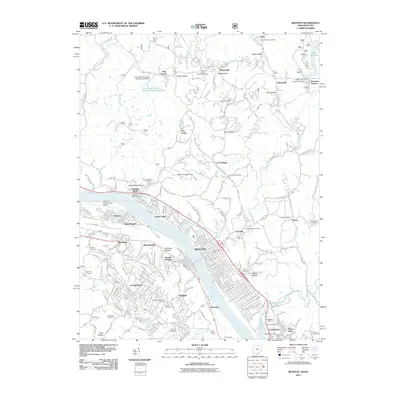
2002 Ironton
Lawrence County, OH
2011 Ironton
Lawrence County, OH
2013 Ironton
Lawrence County, OH
2016 Ironton
Lawrence County, OH
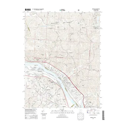
2019 Ironton
Lawrence County, OH
2023 Ironton
Lawrence County, OH