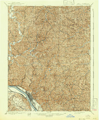
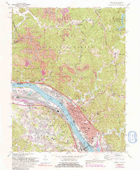
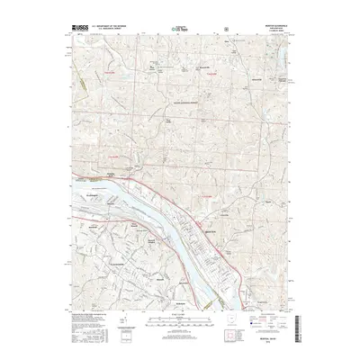
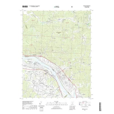
1900 Map of Ironton
USGS Topo · Published 1943About this map
The industrial heart of the Hanging Rock iron region is anchored by Ironton at the turn of the century, where the Ohio River serves as a primary artery for transit and trade. The landscape is defined by the legacy of early iron production, evidenced by the presence of Center Furnace and Vesuvius Furnace, which were central to the area's development. Logistics are managed by the Iron Railroad and the Chesapeake and Ohio, weaving between the steep hills and creek valleys. Moving inland from the riverfront, the map reveals a dense network of small communities such as Etna, Steece, and Culbertson. Notable landmarks like the Indian Mound and the sprawling Woodland Cemetery offer significant points of interest for local historians. The interior townships, including Elizabeth and Decatur, are marked by numerous named knobs and a complex system of drainage along Pine Creek and Storms Creek.
Find a feature on this map
59 named features on this map. Tap any name to fly to it.
Don’t see what you’re looking for? This feature index may not catch every label — zoom into the map to look around manually.
Map Details
Editions of this 1900 Ironton Map
2 editions found

Historical Maps of Ironton Through Time
13 maps found

1898 Ironton
Lawrence County, OH
1900 Ironton
Lawrence County, OH
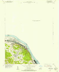
1953 Ironton
Lawrence County, OH
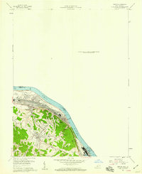
1958 Ironton
Lawrence County, OH
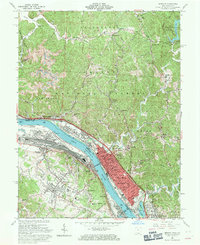
1961 Ironton
Lawrence County, OH
1972 Ironton
Lawrence County, OH

1981 Ironton
Lawrence County, OH
2002 Ironton
Lawrence County, OH
2011 Ironton
Lawrence County, OH
2013 Ironton
Lawrence County, OH
2016 Ironton
Lawrence County, OH
2019 Ironton
Lawrence County, OH
2023 Ironton
Lawrence County, OH