2023 Map of Cedar Fort
USGS Topo · Published 2023About this map
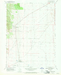
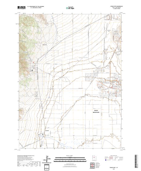
Cedar Fort and Fairfield anchor this portion of the Cedar Valley, where historical preservation meets modern residential growth. The landscape is defined by its commemorative sites, including the Cedar Fort Pioneer Cem and the Camp Floyd Cem, reflecting the area's mid-19th-century military and pioneer heritage. To the west, the foothills of the Oquirrh Mountains descend through Threemile Canyon and Crafts Canyon, while the eastern boundary is marked by the Lake Mountains. Significant suburban development is visible in the burgeoning city of Eagle Mountain, contrasted by the traditional agricultural grid and aviation facilities like the Cedar Valley Airport. Hydrological features such as Big Spring and the Cedar Fort Ditch suggest the vital role of water management in this high-desert environment.
Find a feature on this map
87 named features on this map. Tap any name to fly to it.
Don’t see what you’re looking for? This feature index may not catch every label — zoom into the map to look around manually.
Map Details
Editions of this 2023 Cedar Fort Map
This is the sole edition of this map. No revisions or reprints were ever made.
Historical Maps of Eagle Mountain Through Time
5 maps found