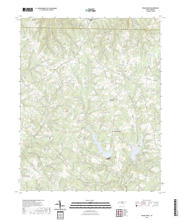
2022 Map of Cedar Grove
USGS Topo · Published 2022About this map
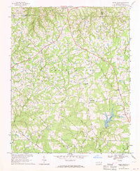
The West Fork Eno River and East Fork Eno River converge near Cedar Grove in northern Orange County, forming a landscape defined by headwater streams and rolling agricultural lands. This rural area reflects a long-standing settlement pattern centered on crossroad communities like McDade and Carr, where local life once revolved around country stores and small family farms. The importance of family lineage and community history is anchored by sites like Harmony Cem and Old Eno Cem, providing essential touchstones for genealogical research.
Find a feature on this map
102 named features on this map. Tap any name to fly to it.
Don’t see what you’re looking for? This feature index may not catch every label — zoom into the map to look around manually.
Map Details
Editions of this 2022 Cedar Grove Map
This is the sole edition of this map. No revisions or reprints were ever made.
Historical Maps of Prospect Hill Through Time
7 maps found