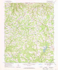
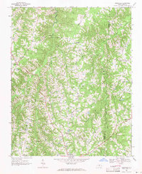
1967 Map of Cedar Grove
USGS Topo · Published 1969About this map
Cedar Grove serves as a central hub in this rural landscape of northern Orange County during the late 1960s, where traditional community landmarks like the Cedar Grove Sch and the Water Tank at McDade define the local geography. The map reveals a land shaped by its headwaters, with the West Fork Eno River and East Fork Eno River converging south toward the newly formed Lake Orange.
Find a feature on this map
34 named features on this map. Tap any name to fly to it.
Don’t see what you’re looking for? This feature index may not catch every label — zoom into the map to look around manually.
Map Details
Editions of this 1967 Cedar Grove Map
This is the sole edition of this map. No revisions or reprints were ever made.
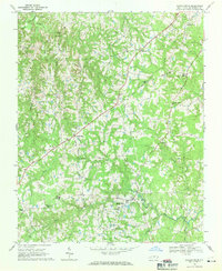
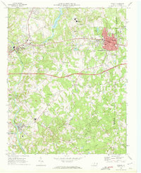
Other maps of this area

1953 · Greensboro
USGS Topo · 1:250,000

1954 · Greensboro
USGS Topo · 1:250,000

1962 · Greensboro
USGS Topo · 1:250,000

1966 · Greensboro
USGS Topo · 1:250,000
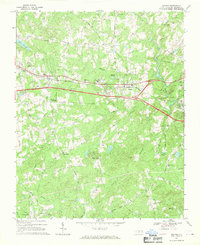
1968 · Efland
USGS Topo · 1:24,000
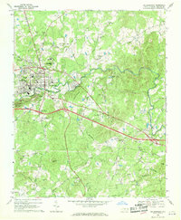
1968 · Hillsborough
USGS Topo · 1:24,000
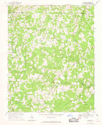
1968 · Caldwell
USGS Topo · 1:24,000
1968 · Ridgeville
USGS Topo · 1:24,000
1968 · Hurdle Mills
USGS Topo · 1:24,000
1969 · Mebane
USGS Topo · 1:24,000