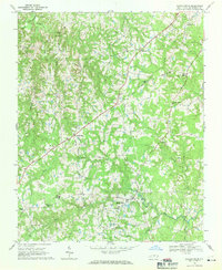
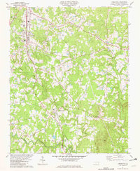
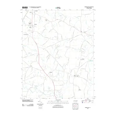
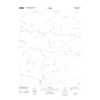
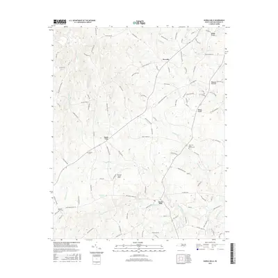
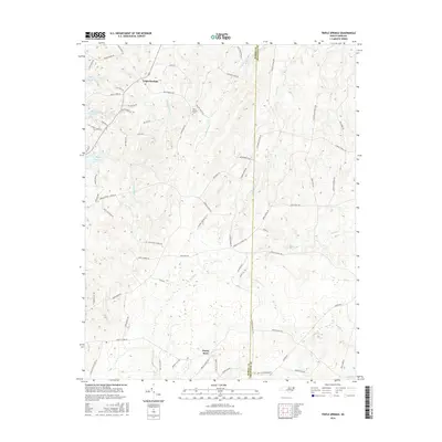
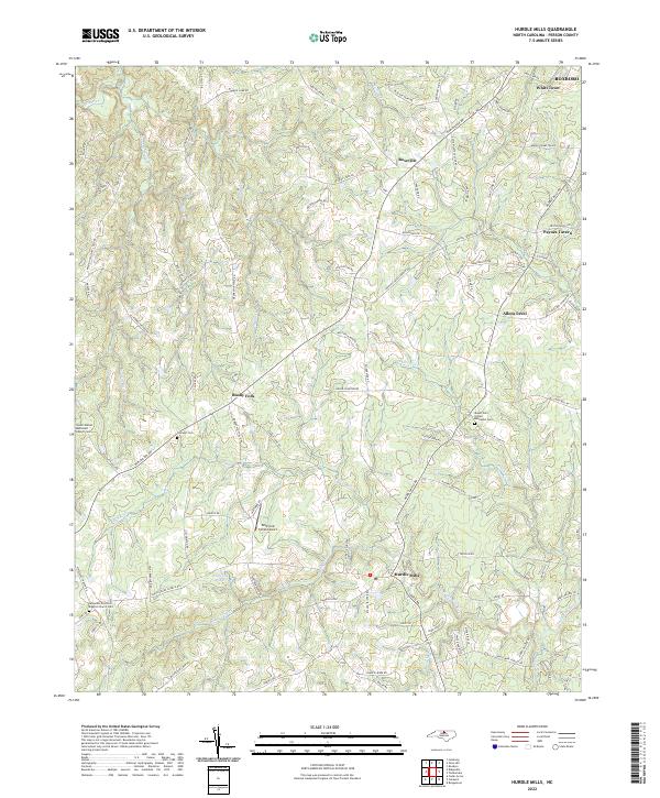
1968 Map of Hurdle Mills
USGS Topo · Published 1971About this map
Hurdle Mills sits at the confluence of several vital watercourses, serving as a hub for the agricultural landscape of Person County in the late 1960s. The terrain is defined by the branching tributaries of the Flat River, including the North Fork Flat River, South Fork Flat River, and Bushy Fork Flat River. This network of streams supported a community structured around rural crossroads and country churches, such as Wilderness Ch and Youngs Chapel. The mapping reveals a transition toward modern infrastructure with a prominent pipeline and a Landing Strip cutting across the traditional farm plots.
Find a feature on this map
28 named features on this map. Tap any name to fly to it.
Don’t see what you’re looking for? This feature index may not catch every label — zoom into the map to look around manually.
Map Details
Editions of this 1968 Hurdle Mills Map
This is the sole edition of this map. No revisions or reprints were ever made.
Historical Maps of Roxboro Through Time
31 maps found
1968 Hurdle Mills
Person County, NC
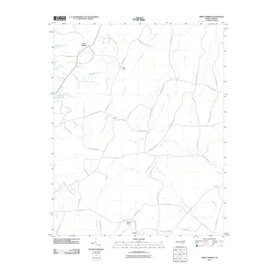
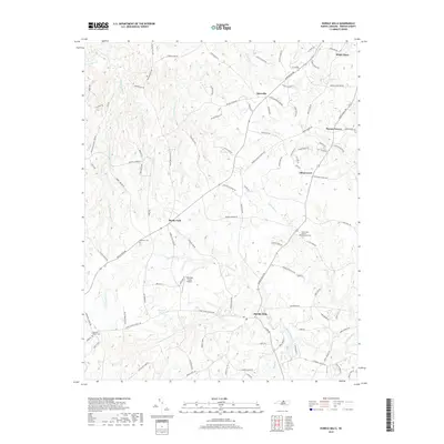
1968 Olive Hill
Person County, NC
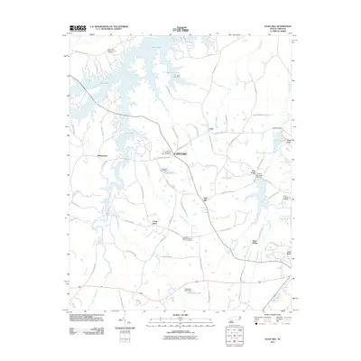
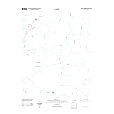
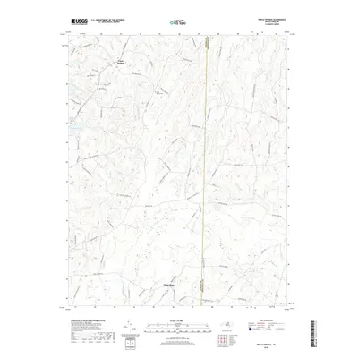
1980 Triple Springs
Person County, NC
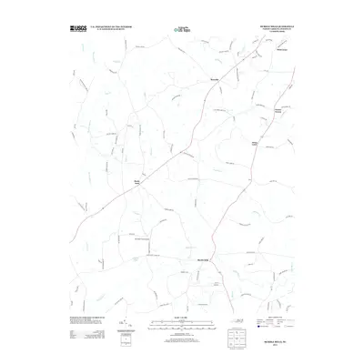
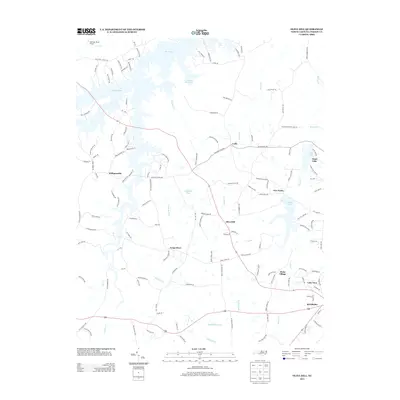
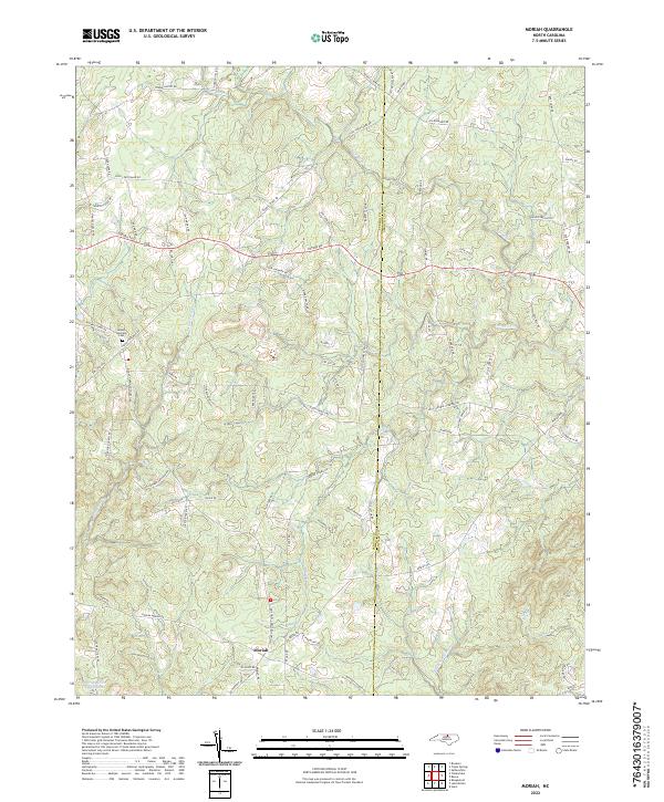
1981 Moriah
Person County, NC
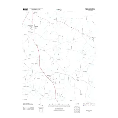
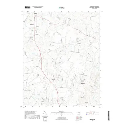
1981 Timberlake
Person County, NC
1997 Hurdle Mills
Person County, NC
2010 Hurdle Mills
Person County, NC
2010 Moriah
Person County, NC
2010 Timberlake
Person County, NC
2010 Triple Springs
Person County, NC
2011 Olive Hill
Person County, NC
2013 Hurdle Mills
Person County, NC
2013 Moriah
Person County, NC
2013 Olive Hill
Person County, NC
2013 Timberlake
Person County, NC
2013 Triple Springs
Person County, NC
2016 Hurdle Mills
Person County, NC
2016 Moriah
Person County, NC
2016 Olive Hill
Person County, NC
2016 Timberlake
Person County, NC
2016 Triple Springs
Person County, NC
2019 Hurdle Mills
Person County, NC
2019 Moriah
Person County, NC
2019 Olive Hill
Person County, NC
2019 Timberlake
Person County, NC
2019 Triple Springs
Person County, NC
2022 Hurdle Mills
Person County, NC
2022 Moriah
Person County, NC
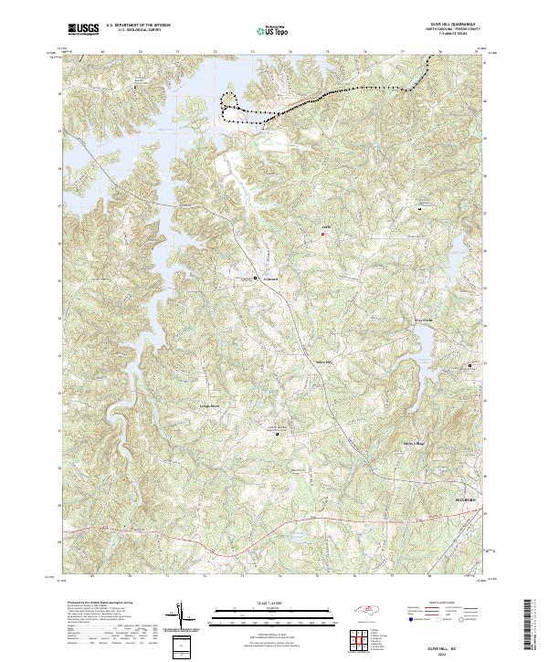
2022 Olive Hill
Person County, NC
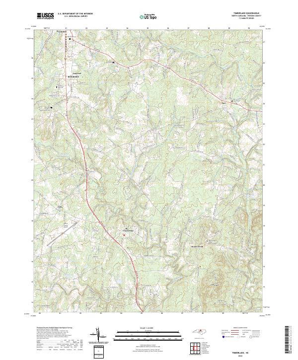
2022 Timberlake
Person County, NC
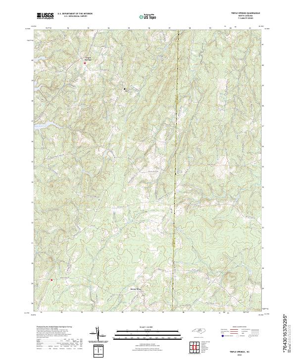
2022 Triple Springs
Person County, NC